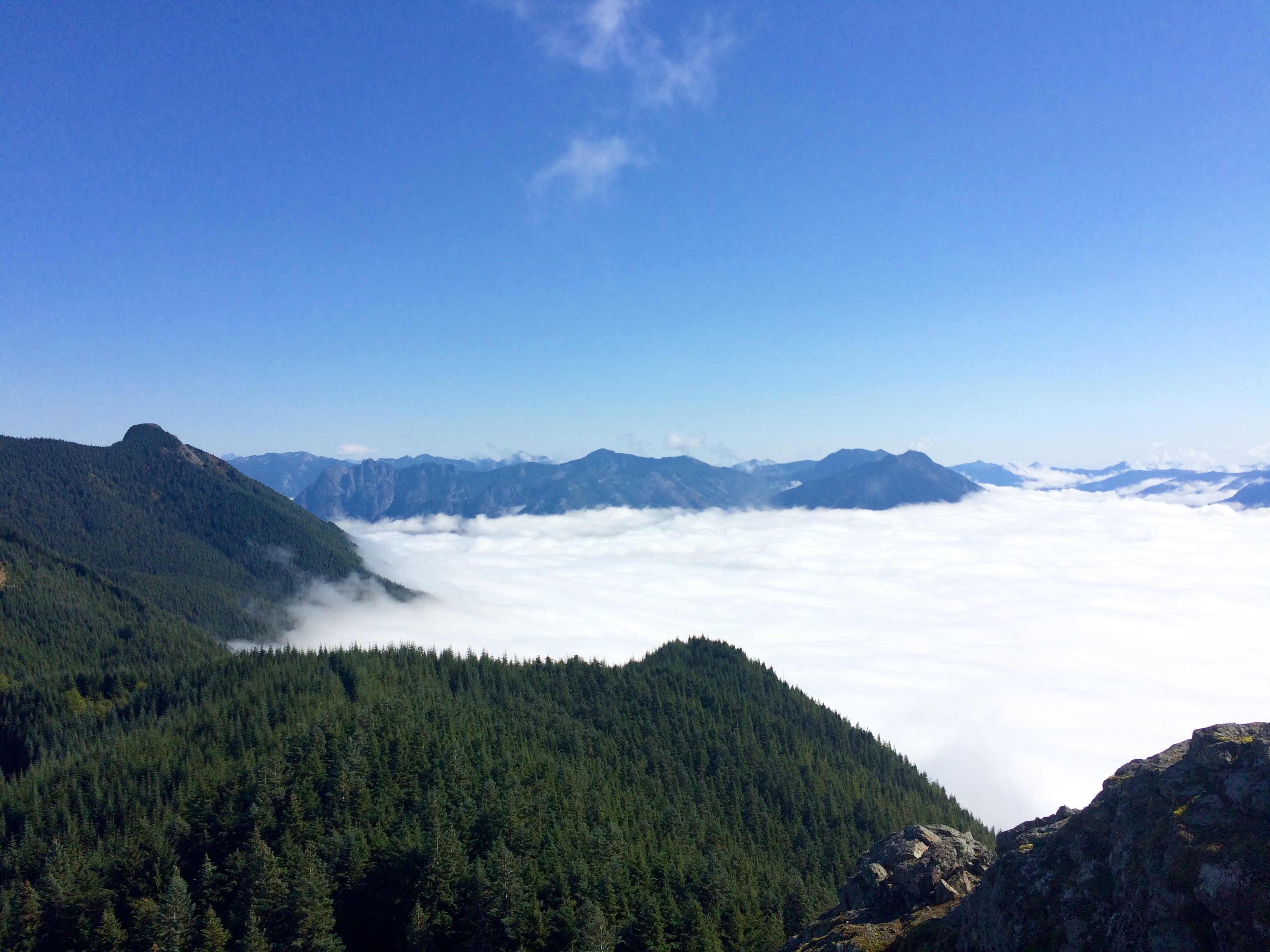
After spending a few days in the Northern Cascades I made my way back through Seattle to meet up with Justine. On Saturday we went for a hike to the summit of Mount Si, a busy spot for Seattle locals, for her friend Ryan’s birthday. Great hike, pretty strenuous, but the views at the top were awesome. Couldn’t see Seattle due to cloud cover, but Rainier to the south was clear and looked impressive. Still bummed about not making it to the summit, but I’m excited to come back for another attempt next season or perhaps a winter summit.
After the hike I drove toward Mount Adams and an hour or two from the trailhead decided to pull over for the night to get some sleep. It’s weird how sometimes it’s easy to get inside your head. Driving around in the dark looking for pull offs in the National Forest can have you fabricating the most abstract scenarios in your head. Sometimes I find myself stopping at several spots and finding a reason that it’s no good before I have to tell myself that I’m just sleeping in your car. It is likely safer than it was to pitch a tent with only the mobility of my bike. I think the lack of options while I was bike touring was sometimes a blessing. When I was tired or it was getting dark, I found a place to camp, simple as that. Oh well, a healthy amount of caution and skepticism probably isn’t a bad thing.
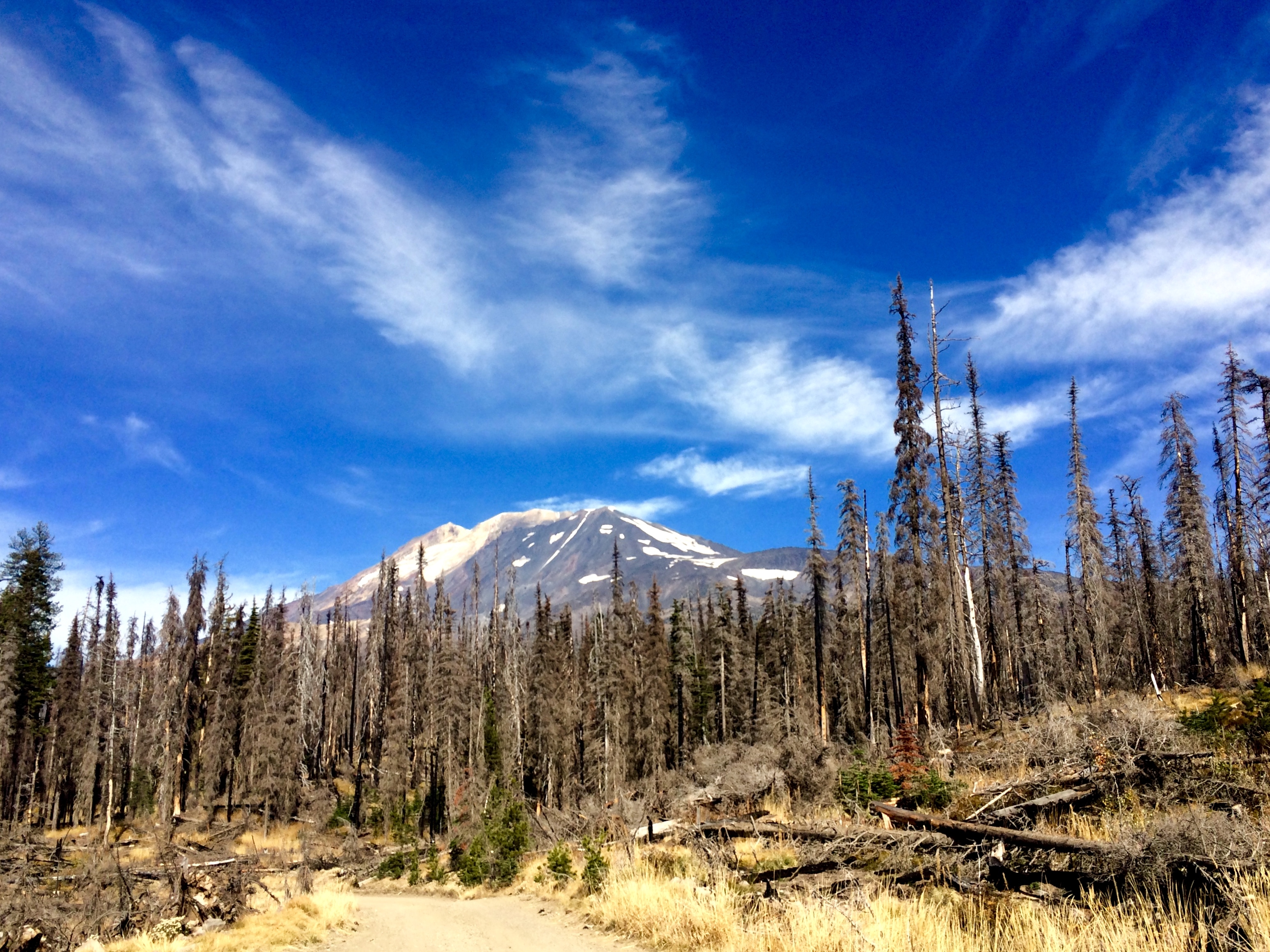
The next morning I finished the drive to Trout Lake and went to the USFS ranger station there to get permits and info on the mountain. I was at the Cold Springs Campground and trailhead for the south ridge approach of Mt Adams around noon on Sunday. Spent the day eating, resting up, and went to bed super early (like 6 PM) for an early start. Unfortunately, I woke up at like 9 pm and couldn’t go back to sleep. Eventually I was able to go back to sleep and woke up for the climb at around 4 am. Ate breakfast, did a final gear check, and was hiking by 5 am.
I had decided to bring Murphy, so I was open to the option of turning back before the summit if I felt Murphy or myself were in over our heads. There were a few other cars in the parking area, but we were the first ones on the trail. About 30 minutes into the hike we passed someone coming out who must have camped on the trail the night before.
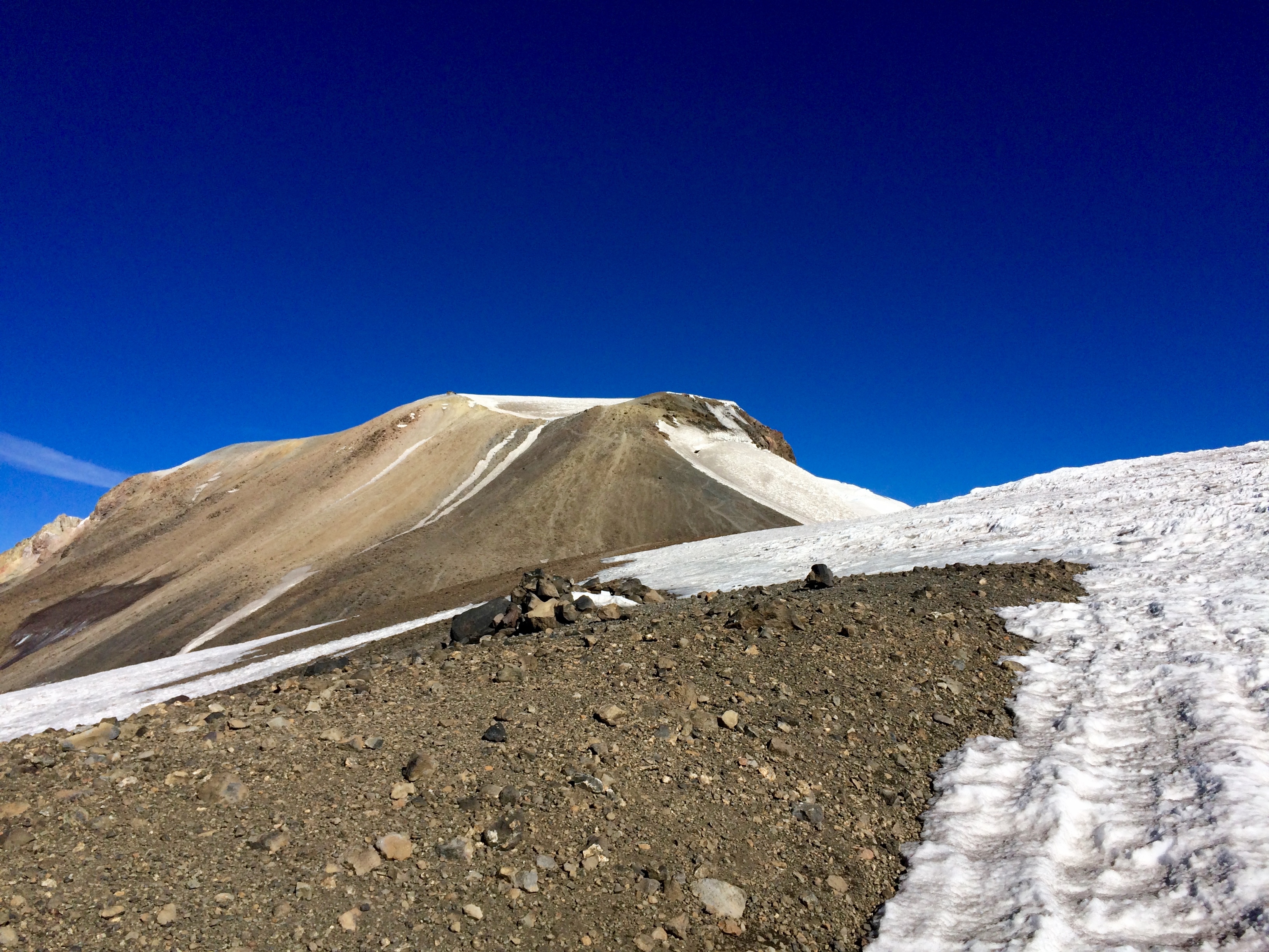
The climbing was tough. It had everything from an easy hike at the beginning to a good scramble around an area called the Lunch Counter, and finally a lot of snowfield walking that required my crampons and ice axe. Murphy had tons of energy for most of the climb, but I was worried how he would handle the snow. I ended up switching his booties on and off depending on whether we were on rock or snow. The lava rock was rough on his paws, but he couldn’t get traction on the snow while wearing the booties.
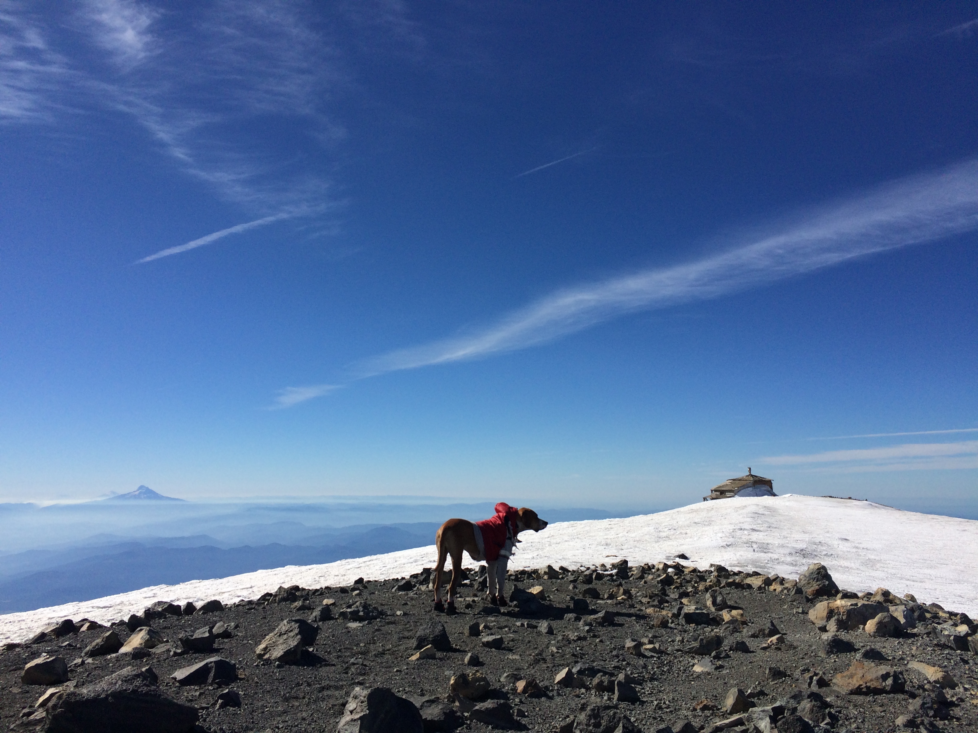
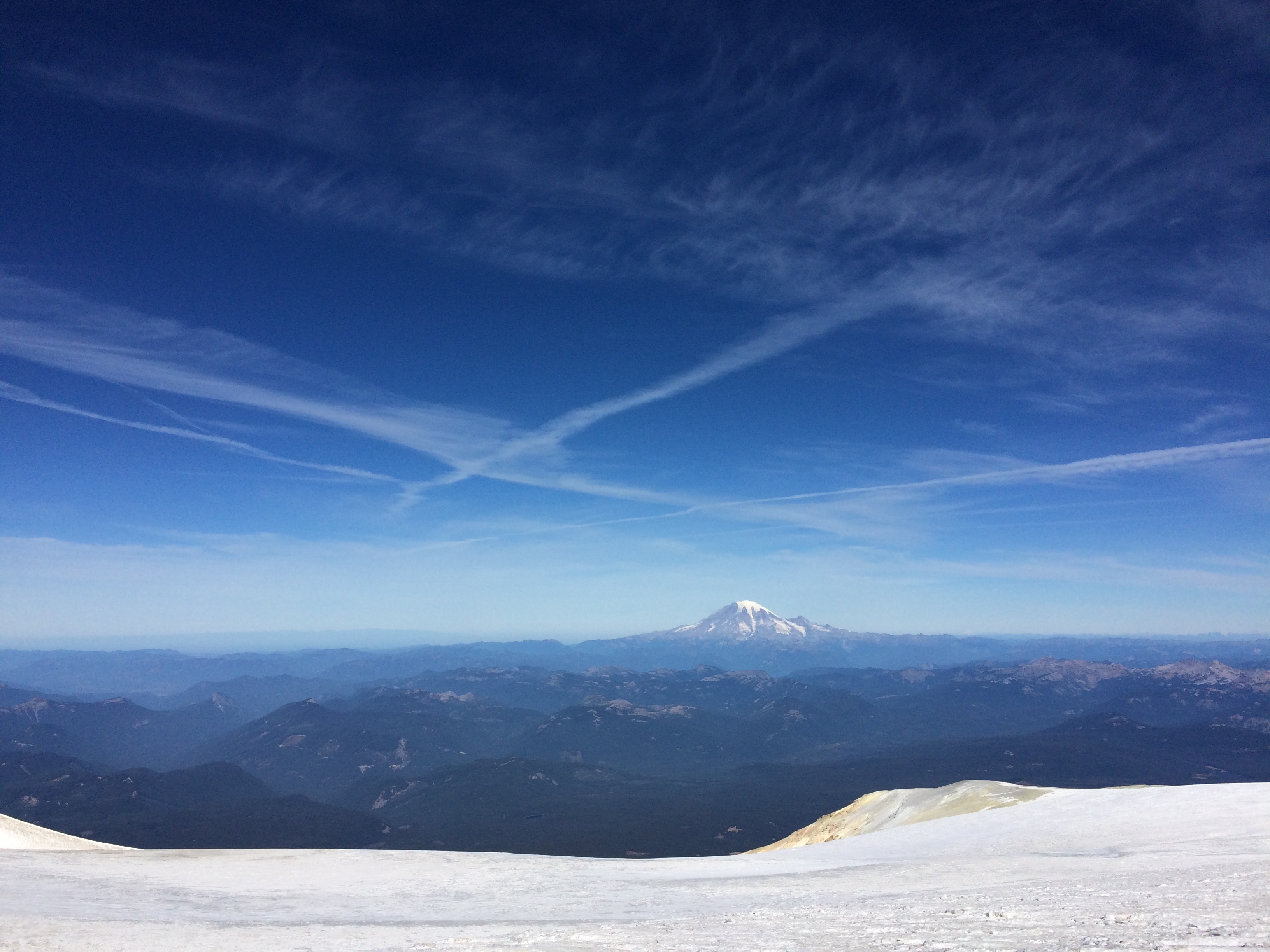
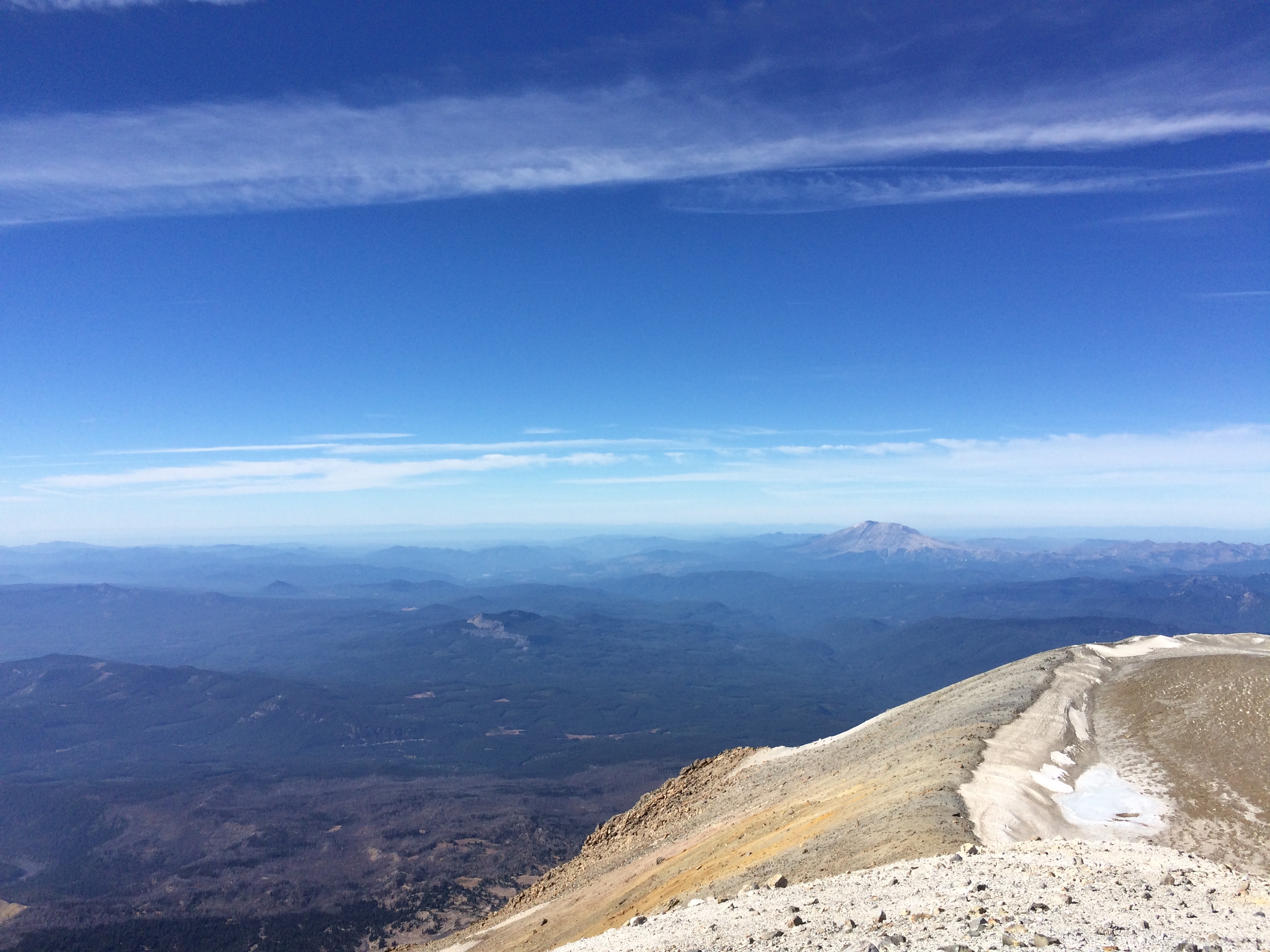
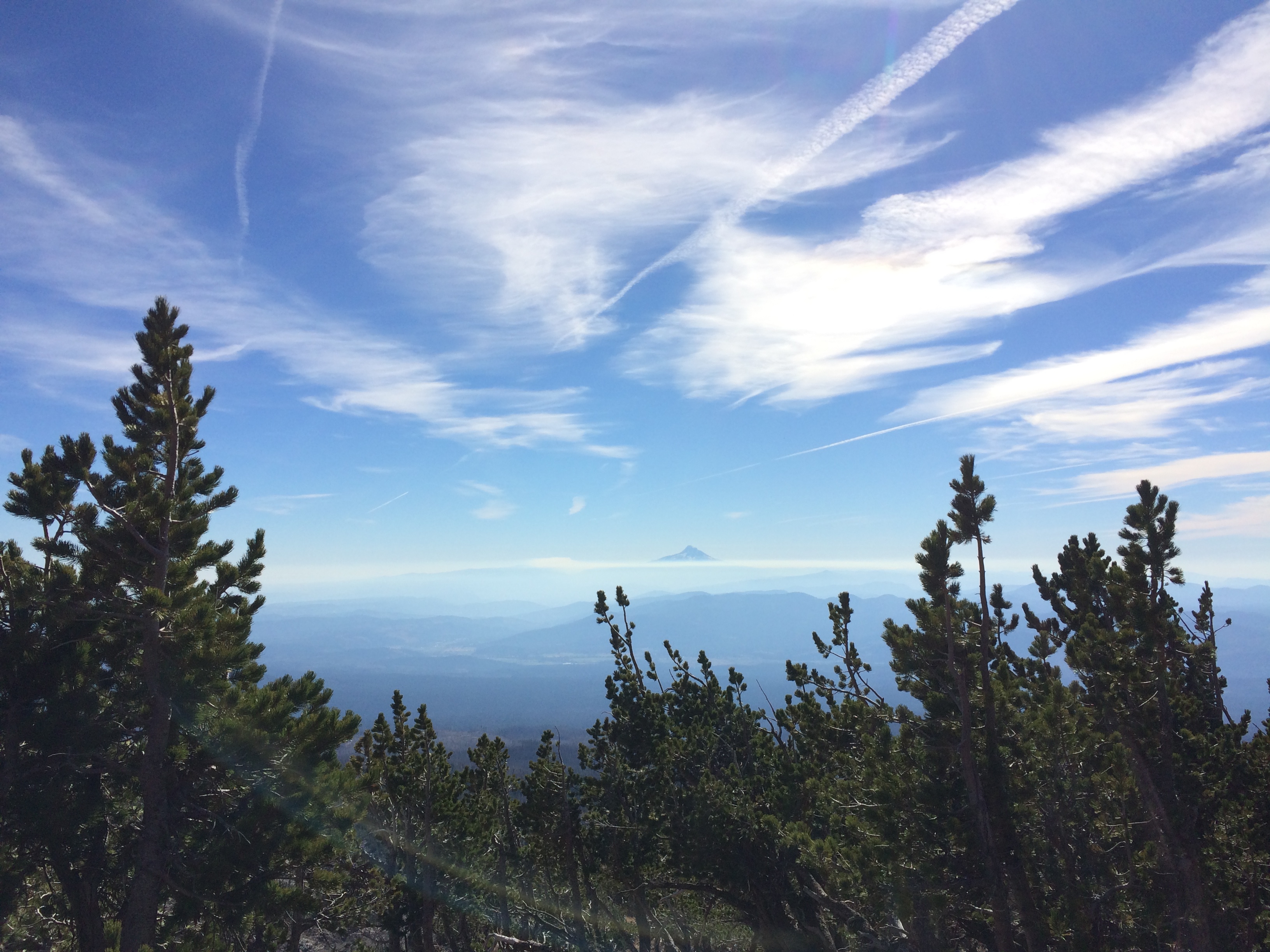
We hit the summit at around 11:30 am after 6 and a half hours. The weather was absolutely ideal. The sun was warm enough that I was almost hot in just a base layer and the wind was nowhere to be found. From the top you could see Mount Hood to the South, Mount St. Helens to the West, and Rainier to the North. All impressive looking peaks that I hope to climb someday. I was exhausted and Murphy looked as though he could fall asleep standing up so we took a 30 minute food, water, rest break and then started the descent.
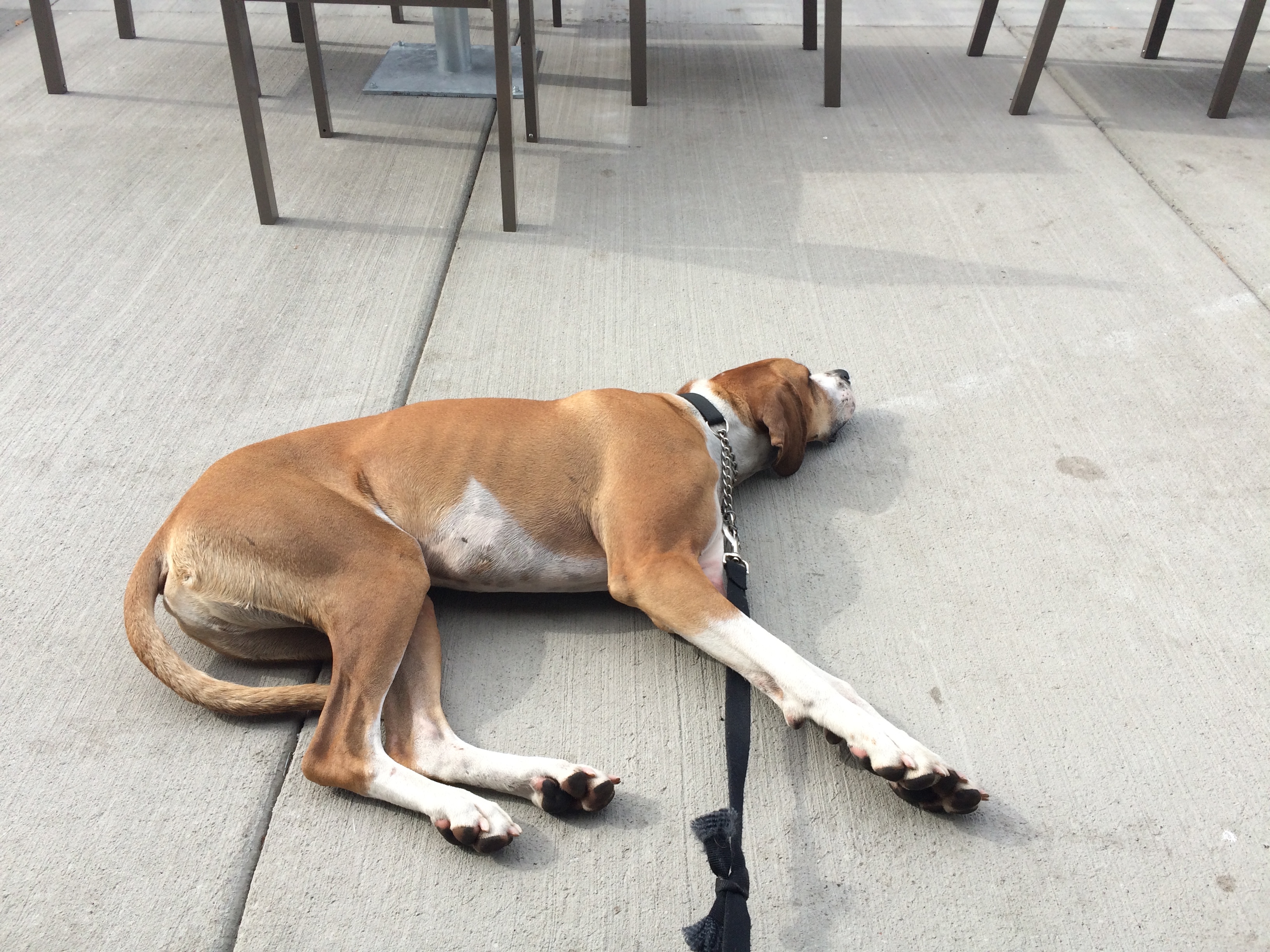
It was incredible, as we were finishing the hike back to the car my legs were ready to fall off, but Murphy was still chasing squirrels. That dog is seriously impressive. When we got back to the campsite though he was down immediately and would barely stand up even to eat. After a nap, we packed up camp, and drove to Hood River, stopping at a McDonalds for some wifi.
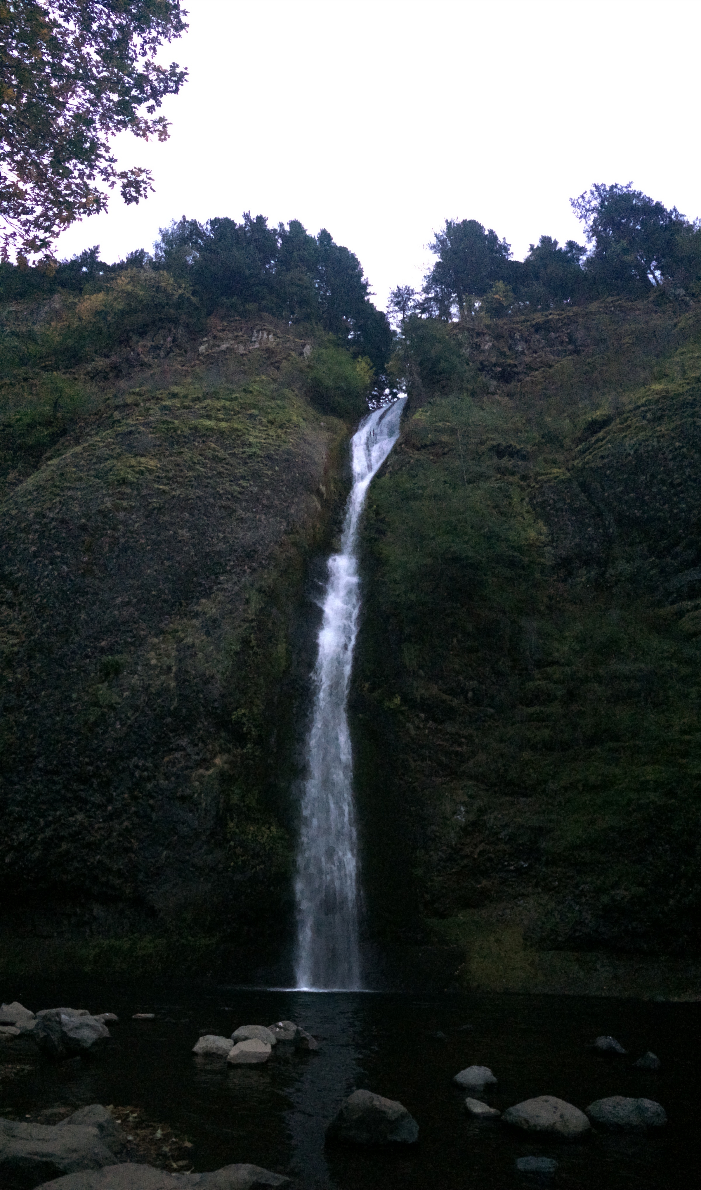
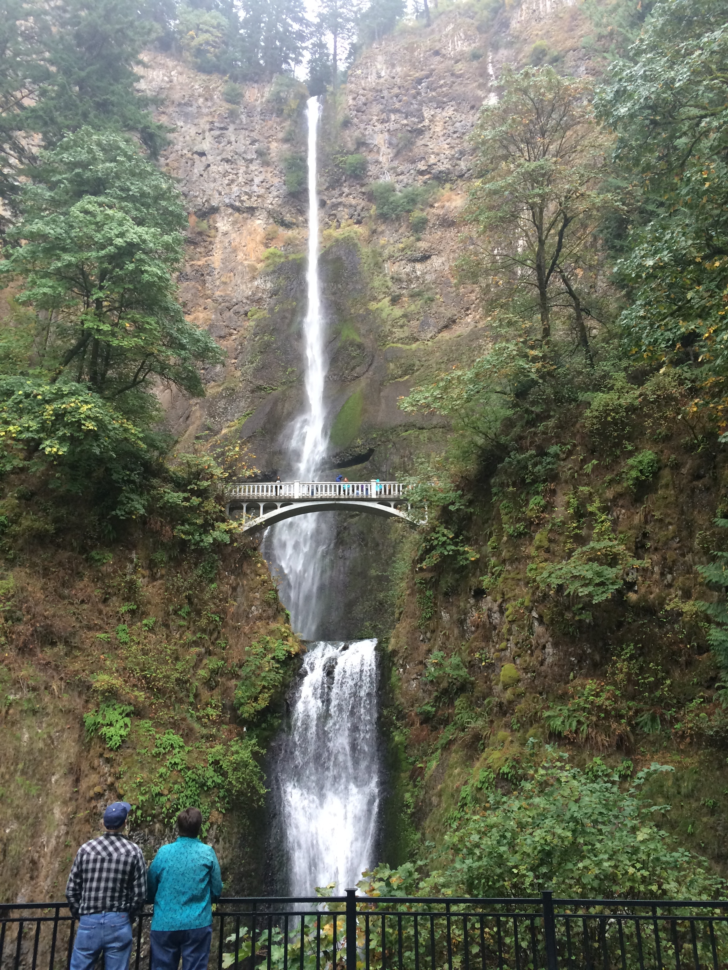
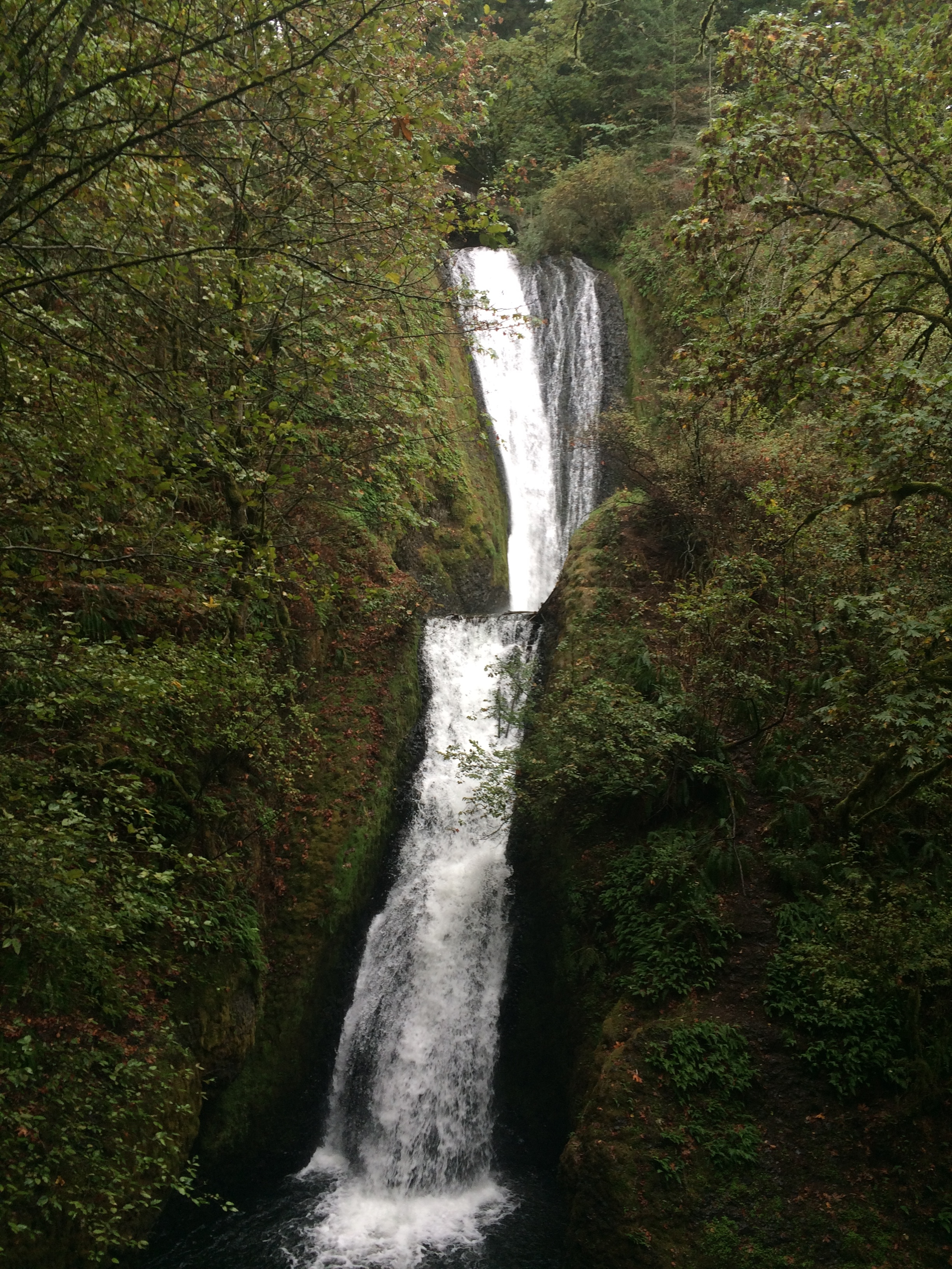
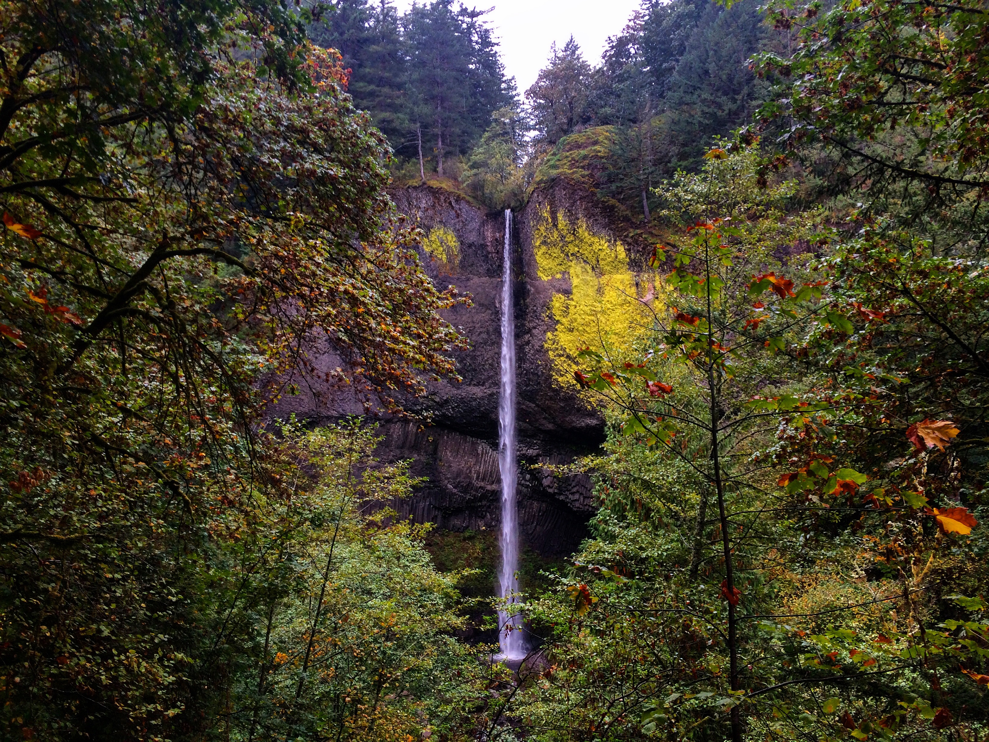
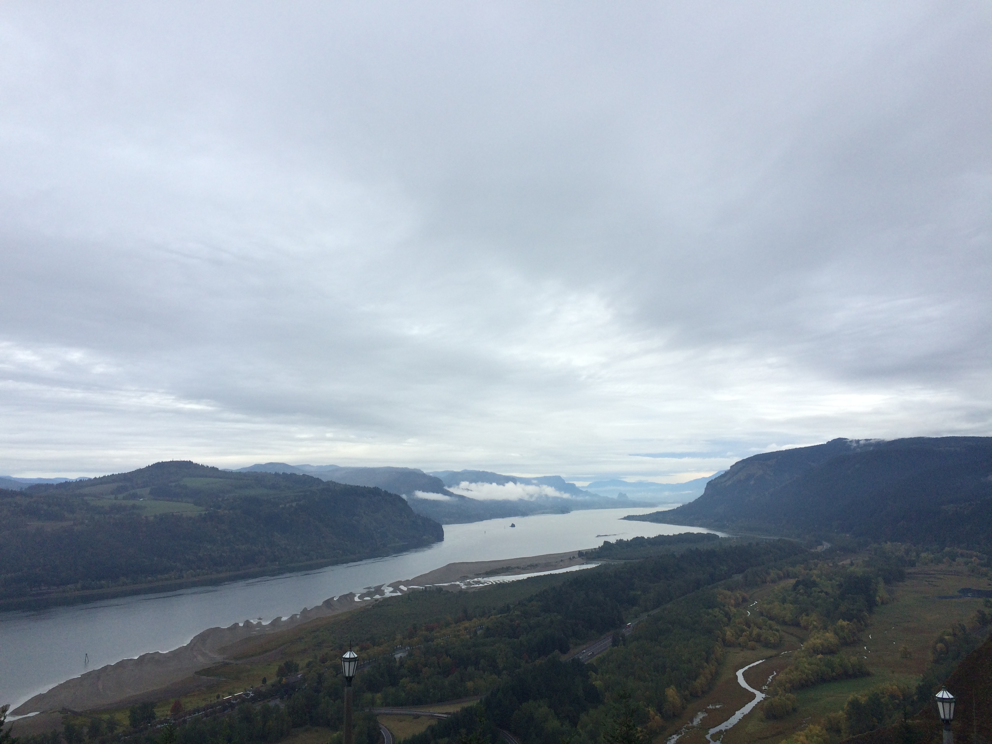
The next day we finished the drive to Portland. Highway 30 from Hood River to Portland on the Columbia River is spectacular. Its a huge gorge, and at least on the Oregon side, is littered with waterfalls. It was getting dark as we finished the drive, so we only got to stop at one of the waterfalls, Horse Tail Falls.
I crashed at my friend, Jena’s, place. We work together at our previous job. It was great to catch up with her and hear what she’s been up to. I spent the next day hitting some of the waterfalls I had missed on the way in and exploring Portland.
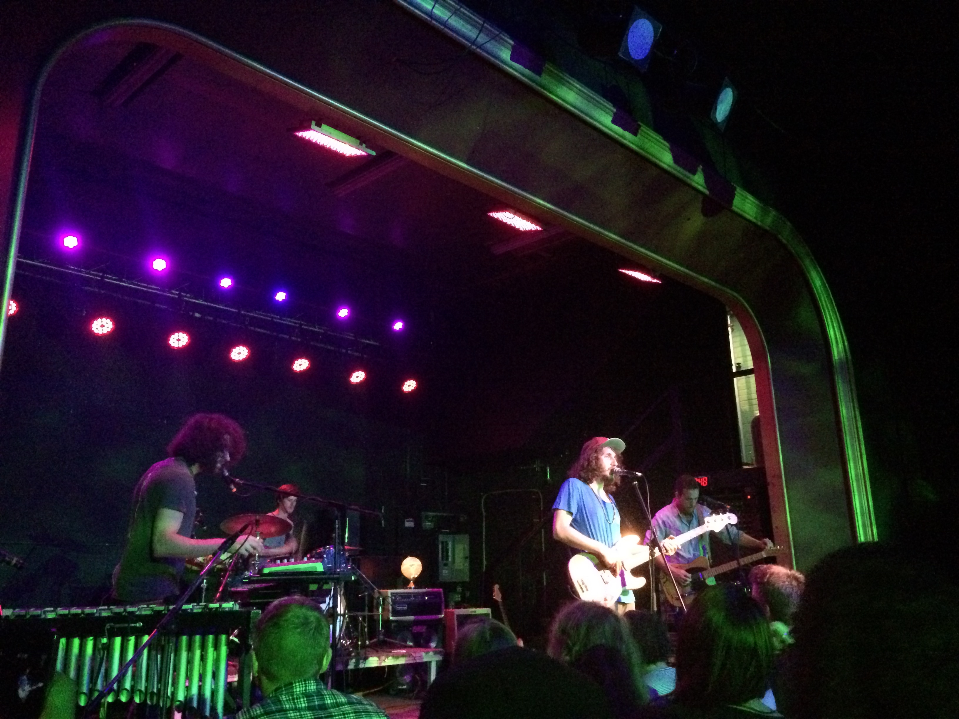
Murph and I went to a used gear shop called Next Adventure back in Portland where he was a huge hit. People love that dog. I got him a backpack so he can carry his own crap to the summit next time. We checked out a dog park and then Jena met us to grab some grub at a restaurant nearly called the Matador. I finished the night out at Hawthorne Theater for a band I had just recently started listening to, Vacationer. It was good to see some live music although I never really get use to going to shows alone. Vacationer was great. They have a lot of synthesized sound in their music and it’s always interesting to see how much they actually play versus is just going on in the background. Their DJ/synthesizer guy was pretty involved and I like that.
The next day Muph and I left for the coast. Our first stope was Astoria which is where the western terminus of the Trans Am bike route is. I was on much of the route for my ride, but jumped off onto the Western Express in Colorado which finishes in San Francisco. IT was cool to see where many of the people I met and rode with finished up their ride.
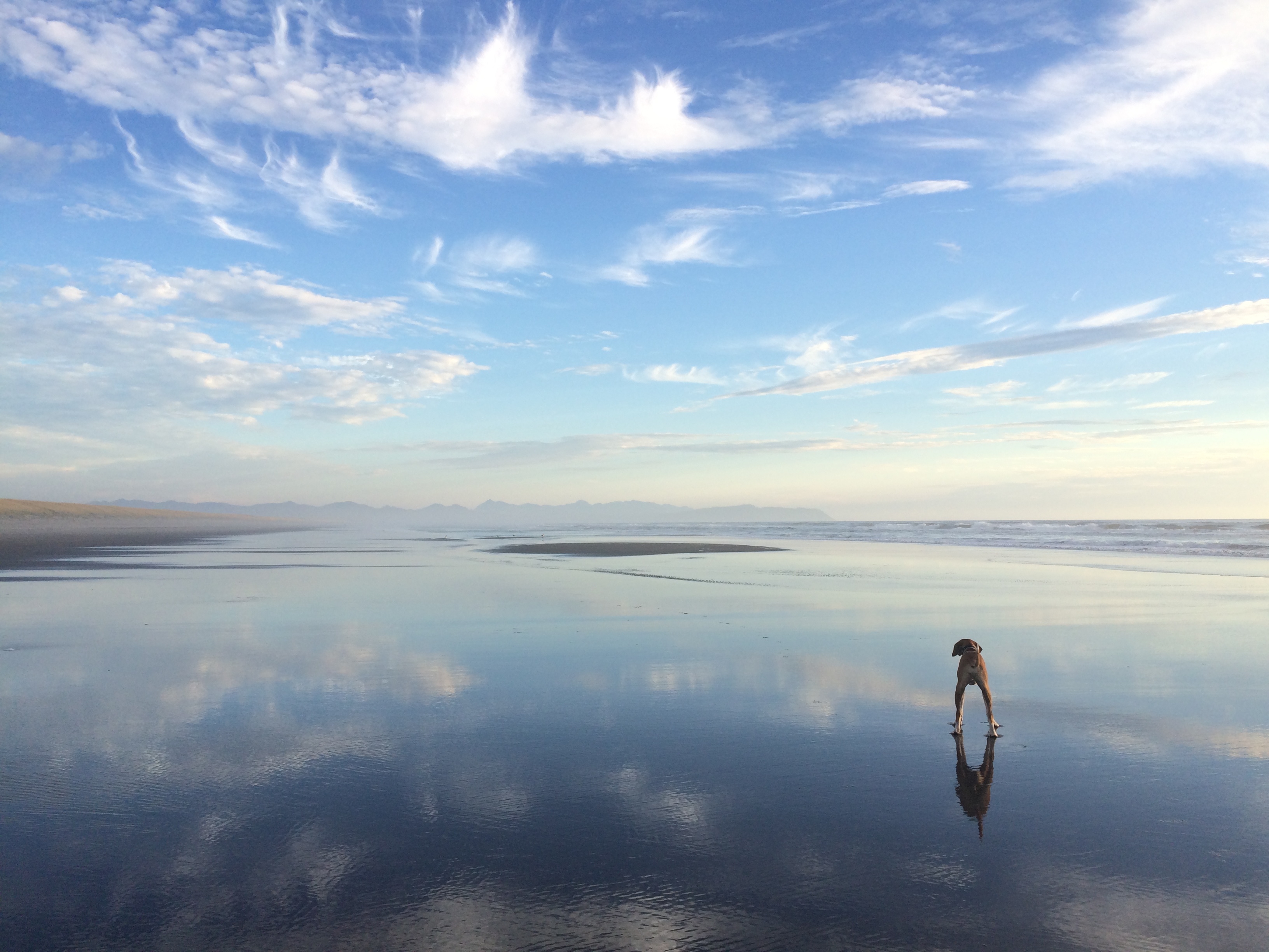
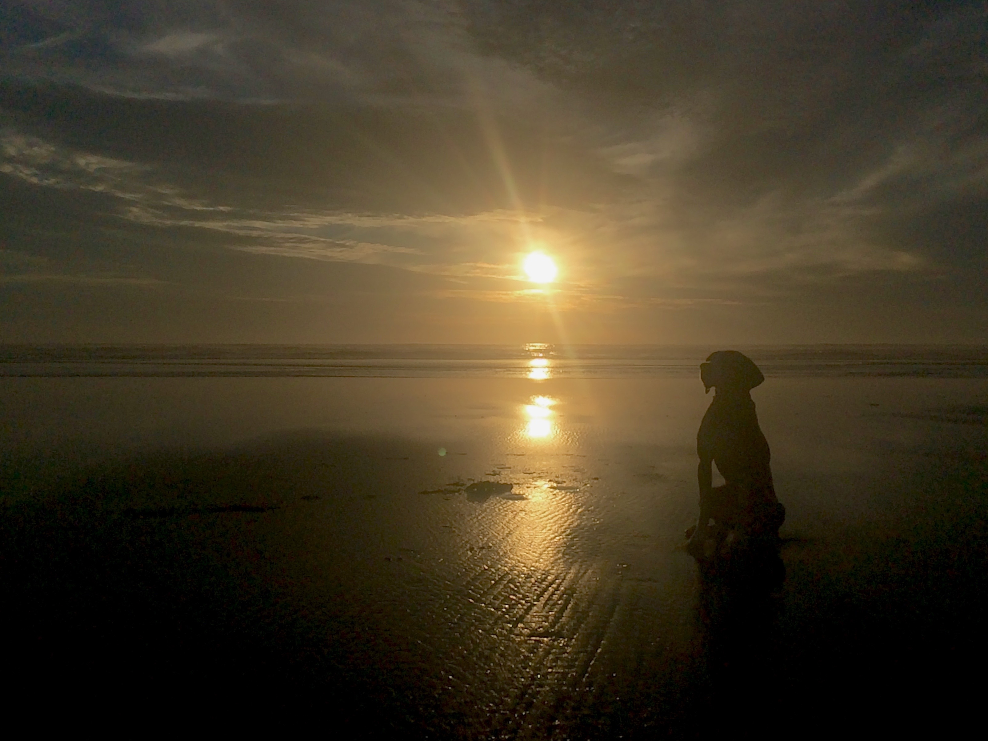
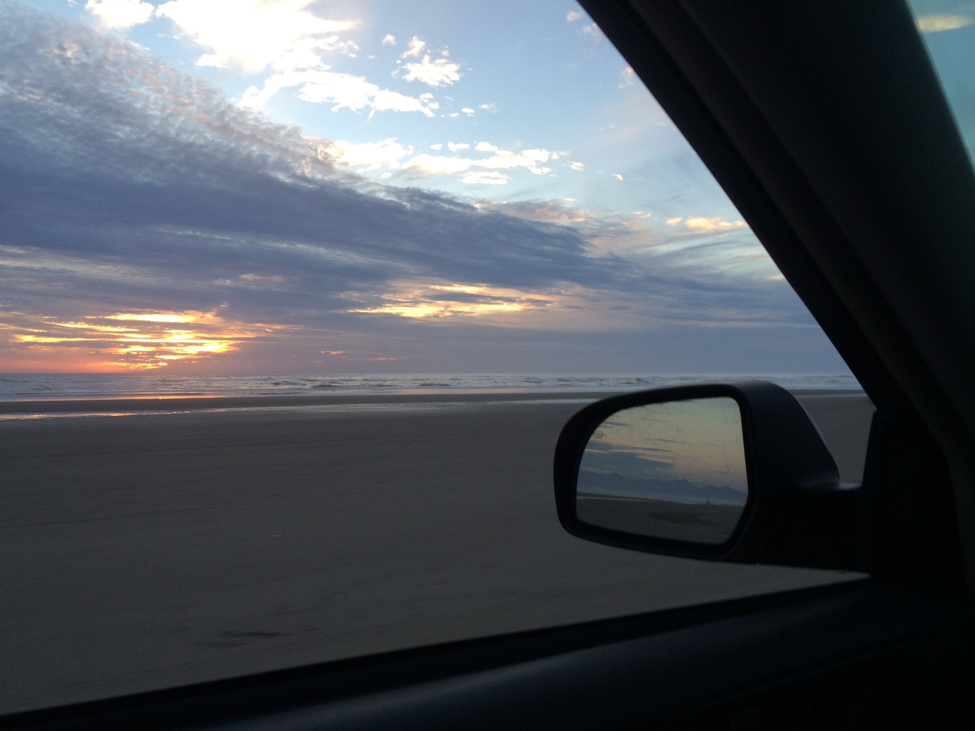
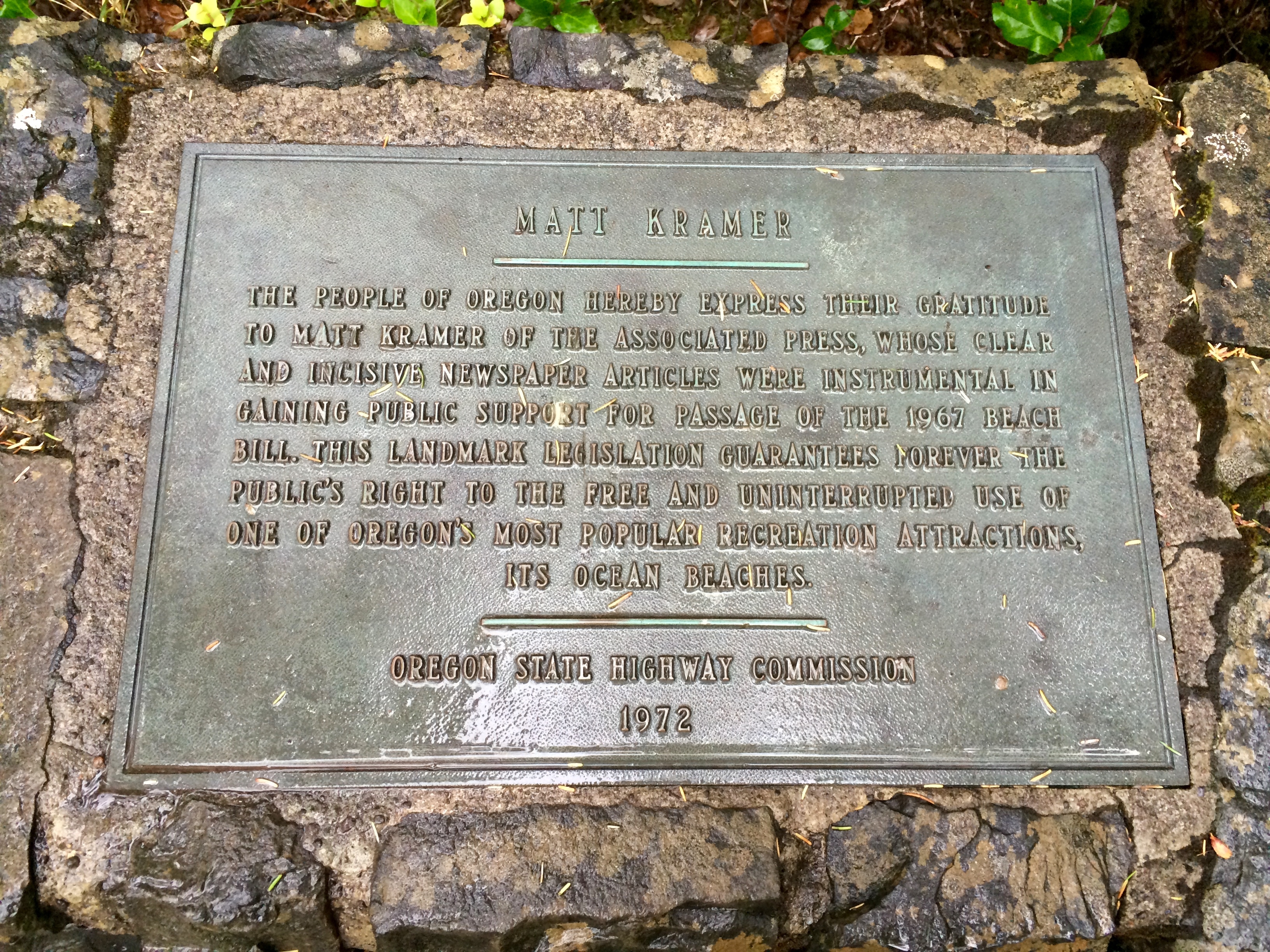
The sunset on the beach at Fort Stevens State Park was sensational. Murphy had a blast running around in the sand and chasing the waves as they came in and out. The reflections and colors created the opportunity for my favorite photos I’ve ever taken. We were even able to drive down the beach to the point of the peninsula which was pretty cool!
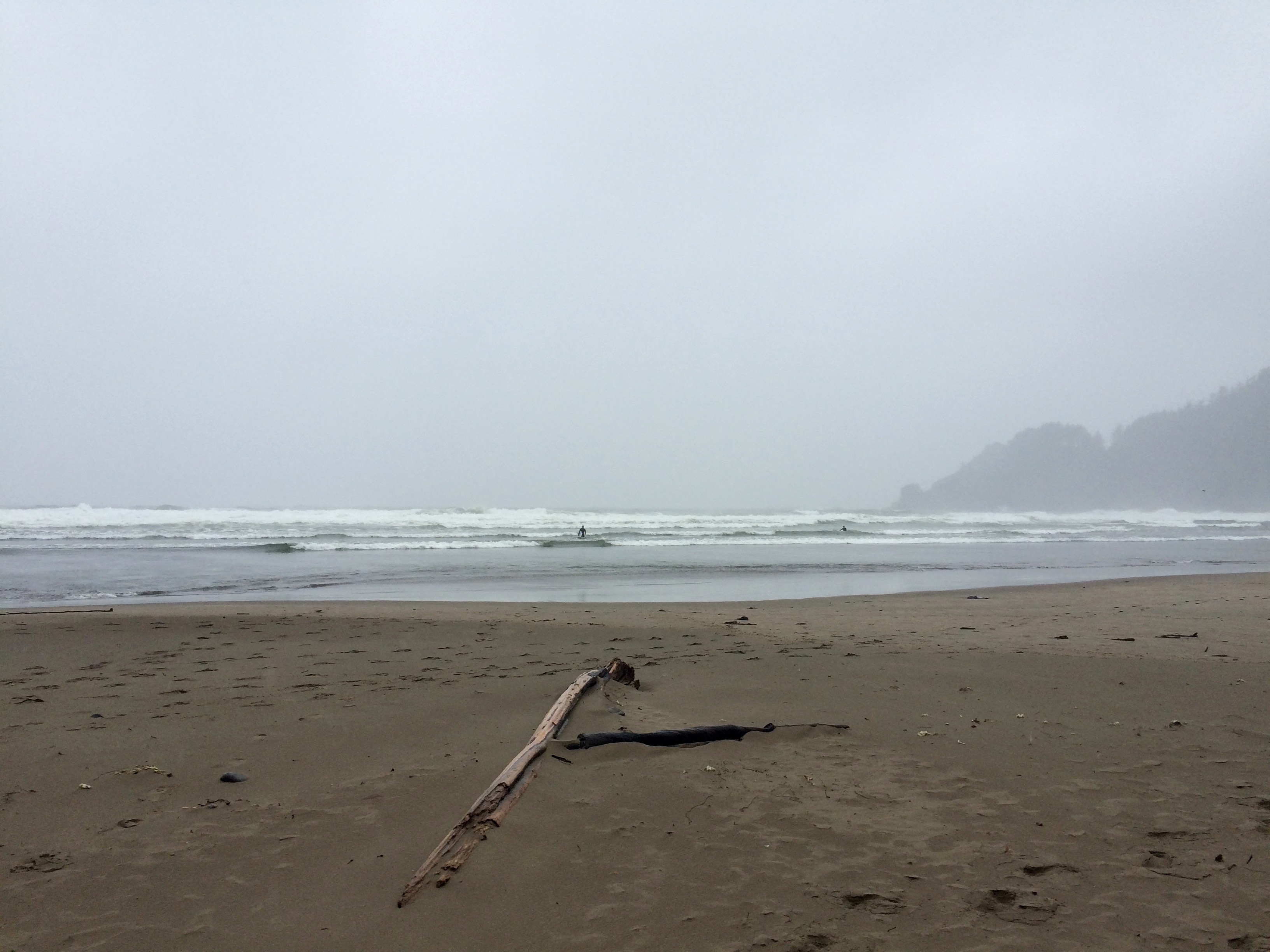
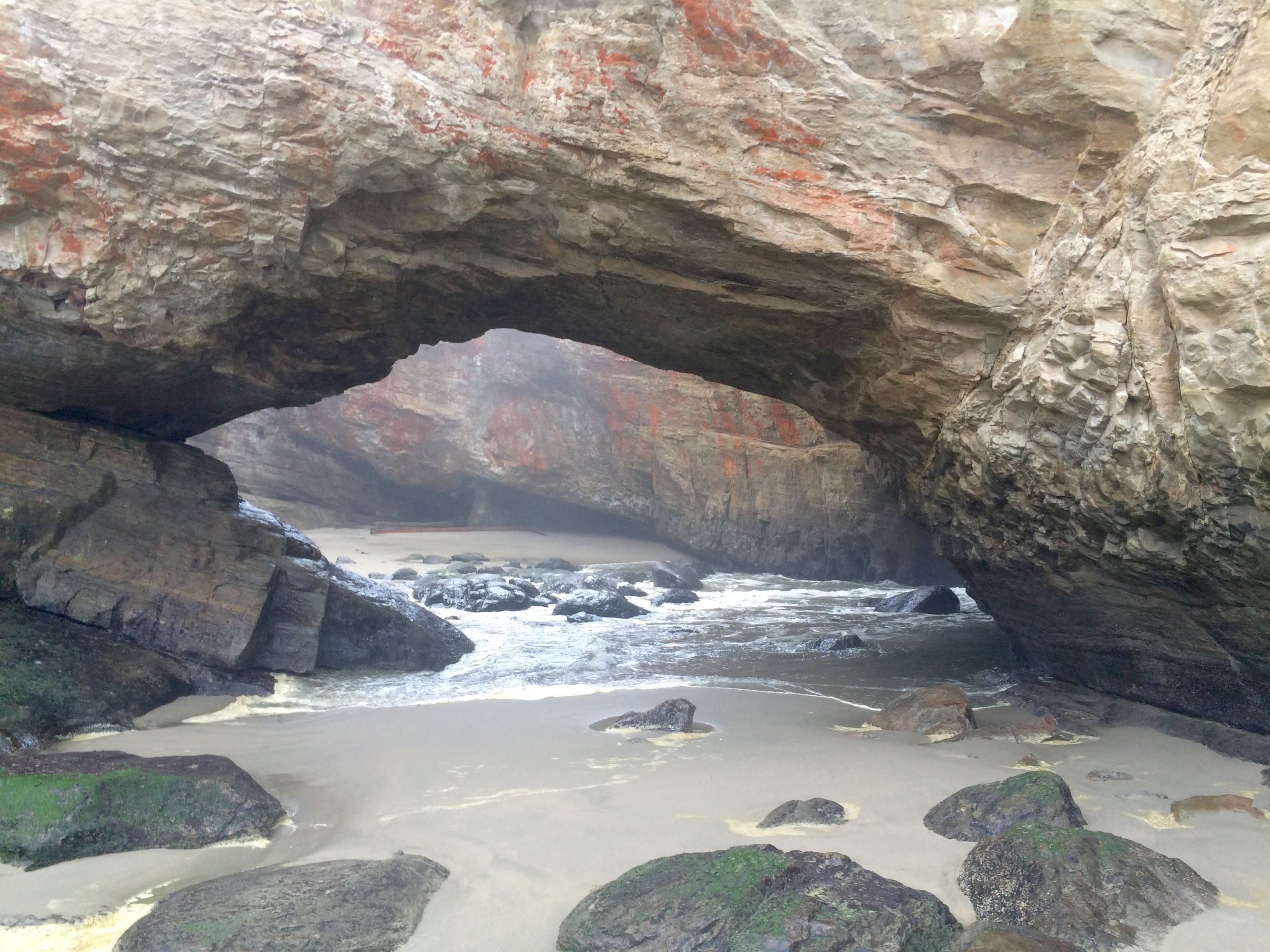
After the sunset we drove down the coast to a sleepy little town called Seaside to sleep for the night. The next morning I spent some time at a coffee shop in town and then we continued our journey down the coast. It was gorgeous, but many of the views were obstructed from fog and clouds from the rain that had came in overnight. We made the most of it and did a hike out to a state beach and stopping at a place called Devil’s Punchbowl which is a collapsed sea cave.
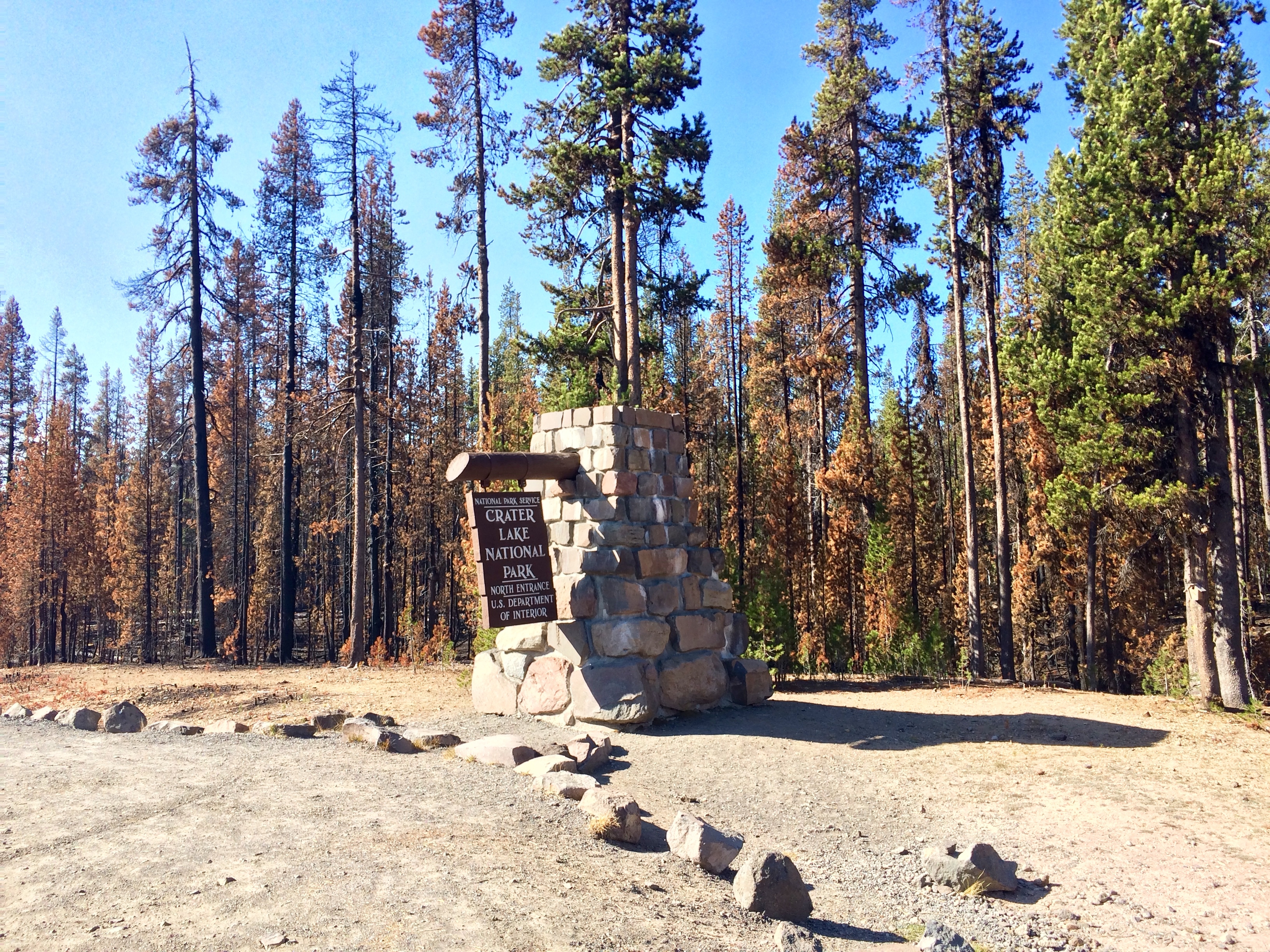
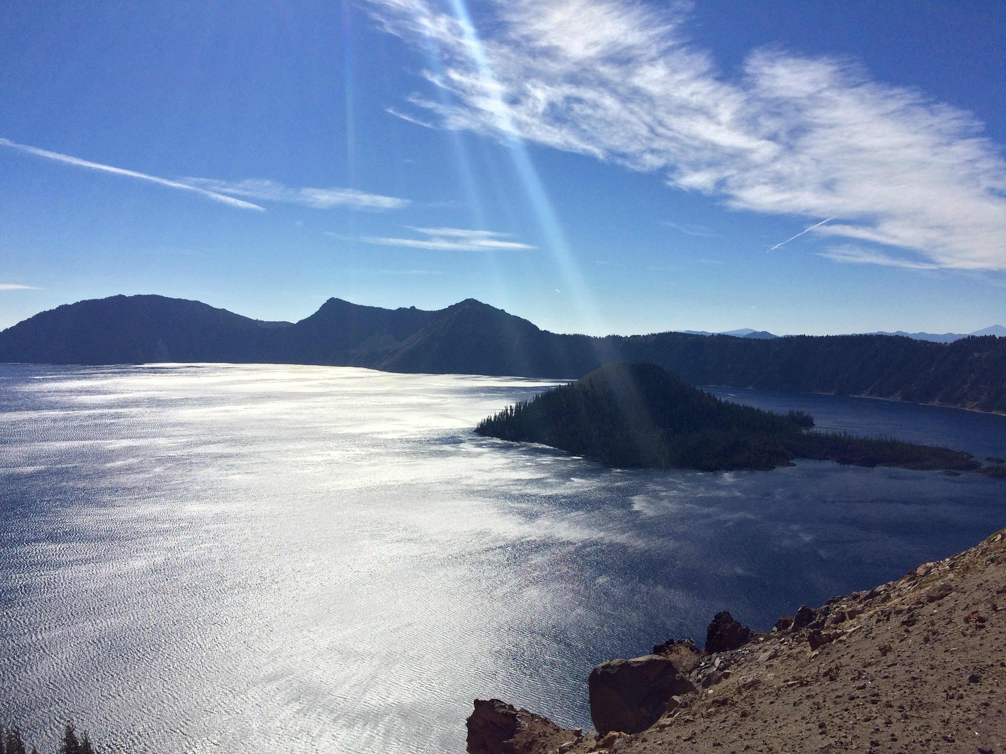
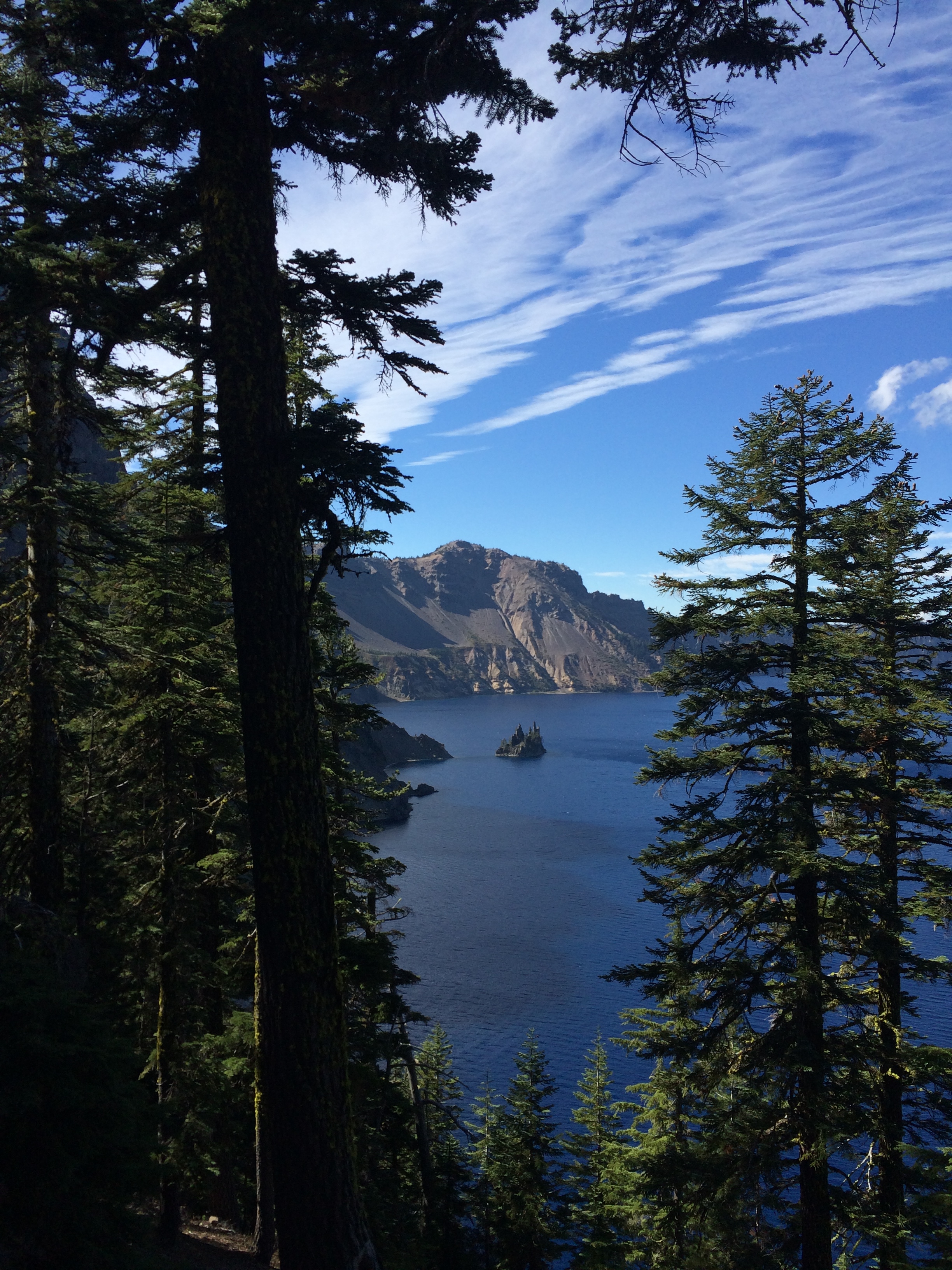
That night we slept just outside of the north entrance of Crater Lake National Park. The next day we did the scenic drive around the lake – the deepest lake in the US and the deepen volcanic lake in the world. The water level is maintained by the rain and massive amounts of snowfall that the lake receives. No streams flow in or out of it making it one of the clearest and purest lakes on earth. It’s a truly impressive natural feature.
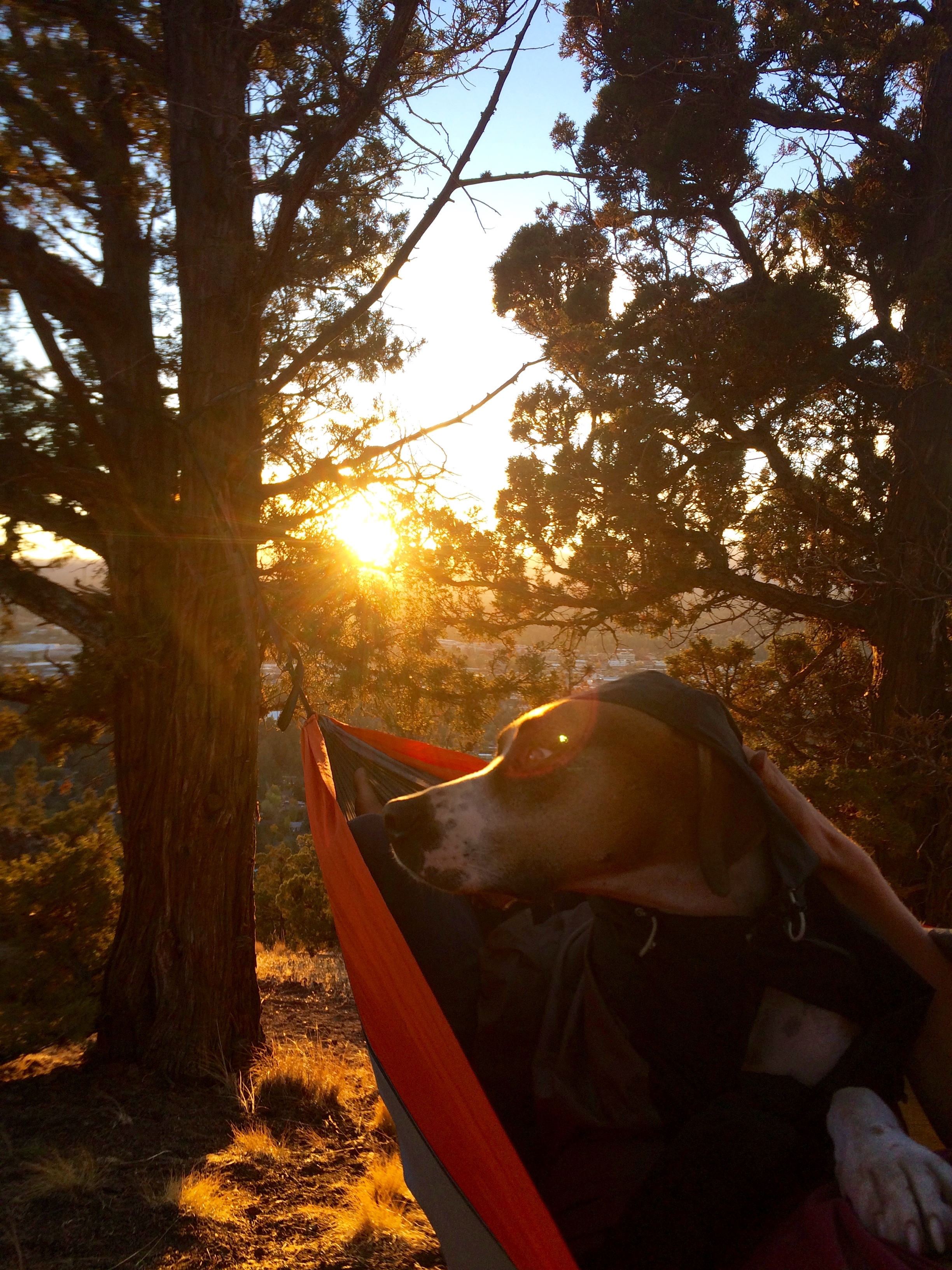
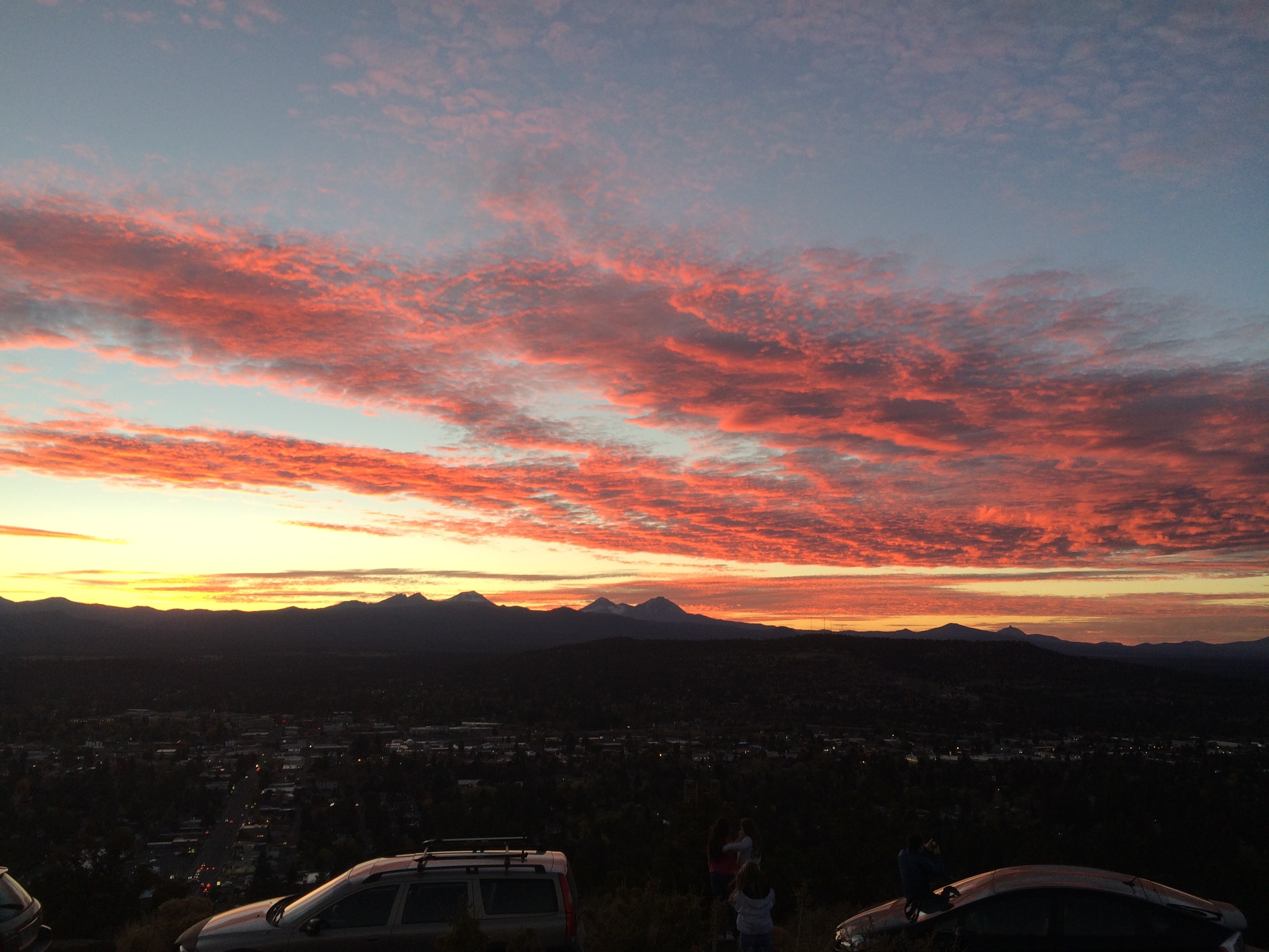
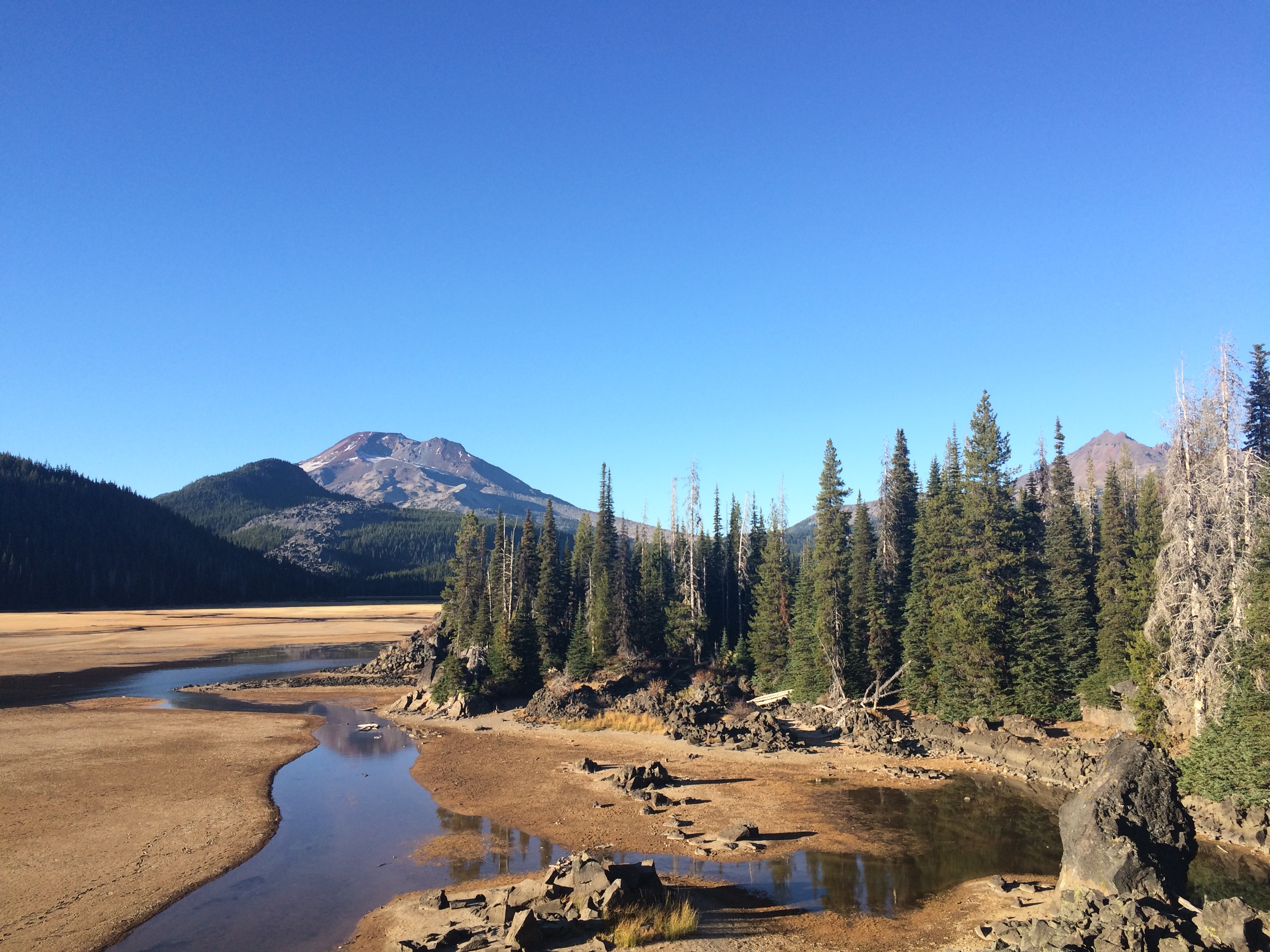
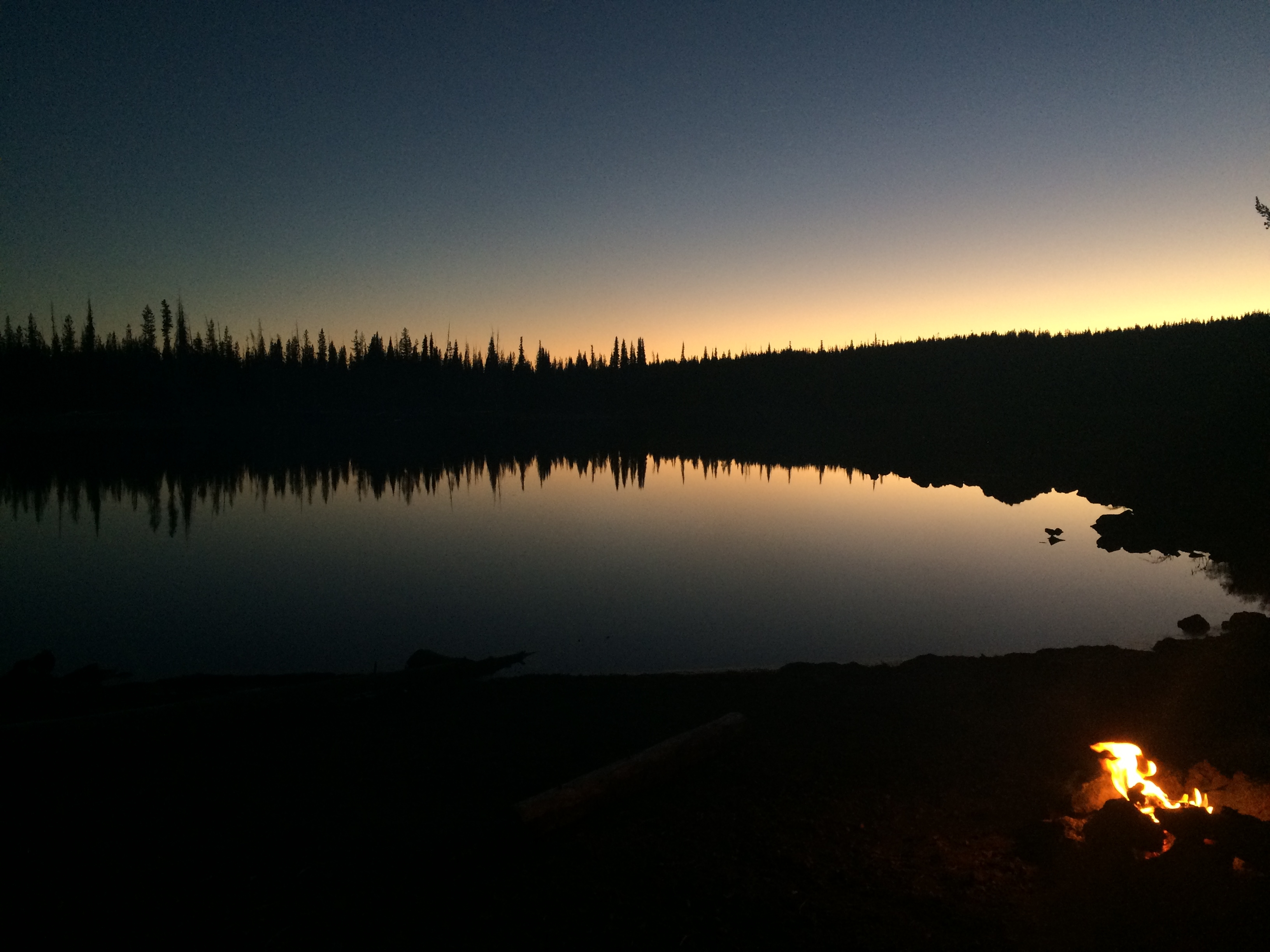
After Crater Lake we headed to Bend, OR and laid low for a few days. We watched the sunset at Pilot Butte with great views of Bend and the surrounding volcanos, checked out a few breweries, and drove out by Mt. Bachelor and camped by Stark Lake.
Now I’m back in Boise with my eyes on another attempt of Mount Borah. The weather is looking good for the next few days and I feel great! After that I’ll be heading to the Salt Lake City area to look for some winter employment. I’m really looking forward to finding a place to call home for awhile because my tent and car just aren’t cutting it anymore. I’m sure Murph feels the same way.
