For the last week or so I’ve been making my way out to Mt Rainier in Washington for a mountaineering seminar the week of Sept 20. Here’s a map of my planned route:
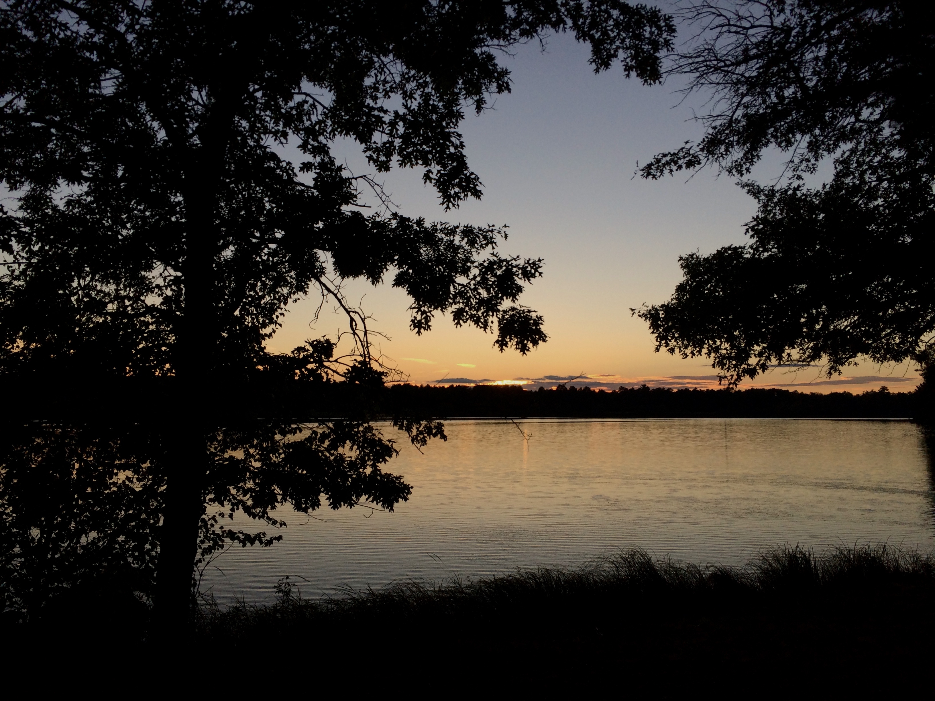
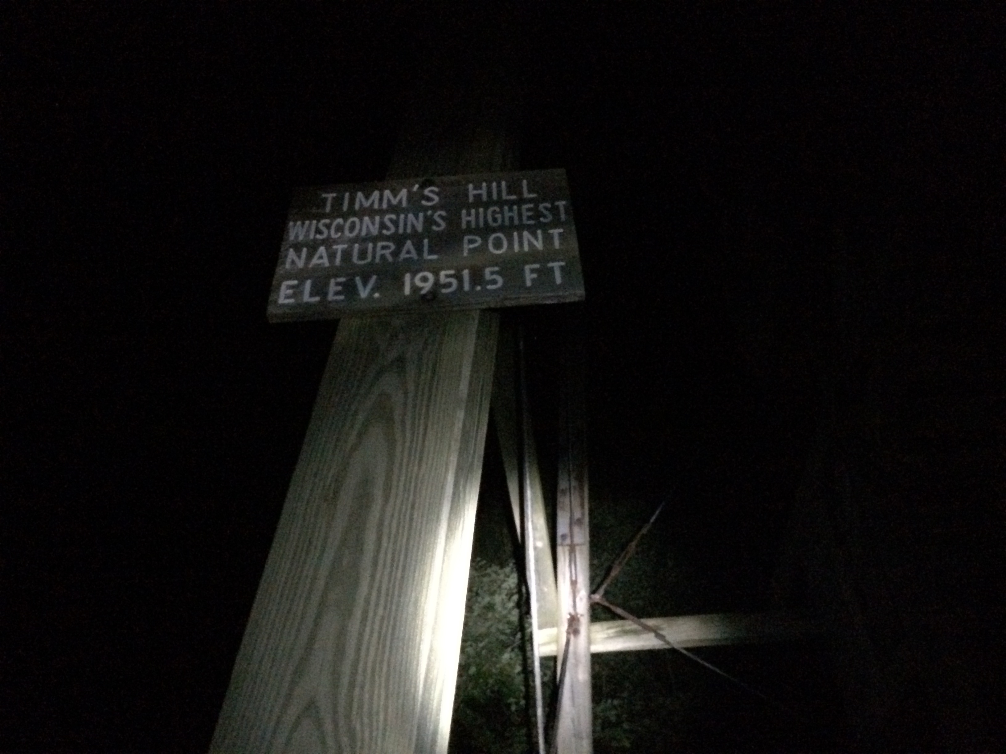
I left early Thursday morning last week and drove all day up to Timms Hill (1952 ft) which is Wisconsin’s high point. Peppered with forrest and lakes the drive through northern Wisconsin was really pretty.
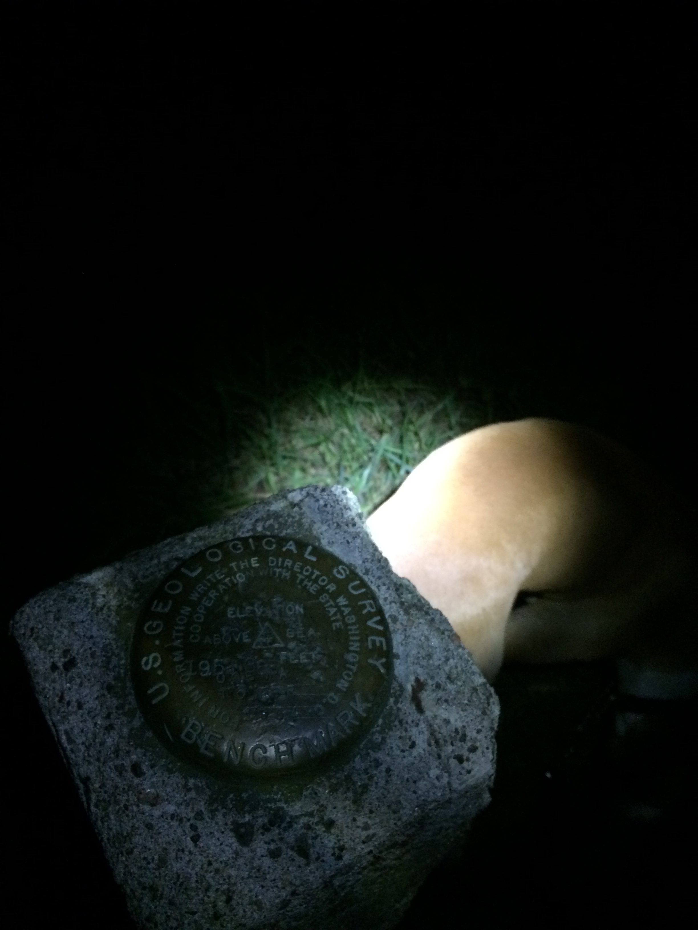
It was dark by the time I got to the high point and I was happy to see the gate to the county park that it is in was still open. I drove up to the trailhead and hiked the 900 yards in the dark with my headlamp to the observation tower that marks the top of the hill. The clear night provided an excellent view of the stars including the milky way from the top of the tower.
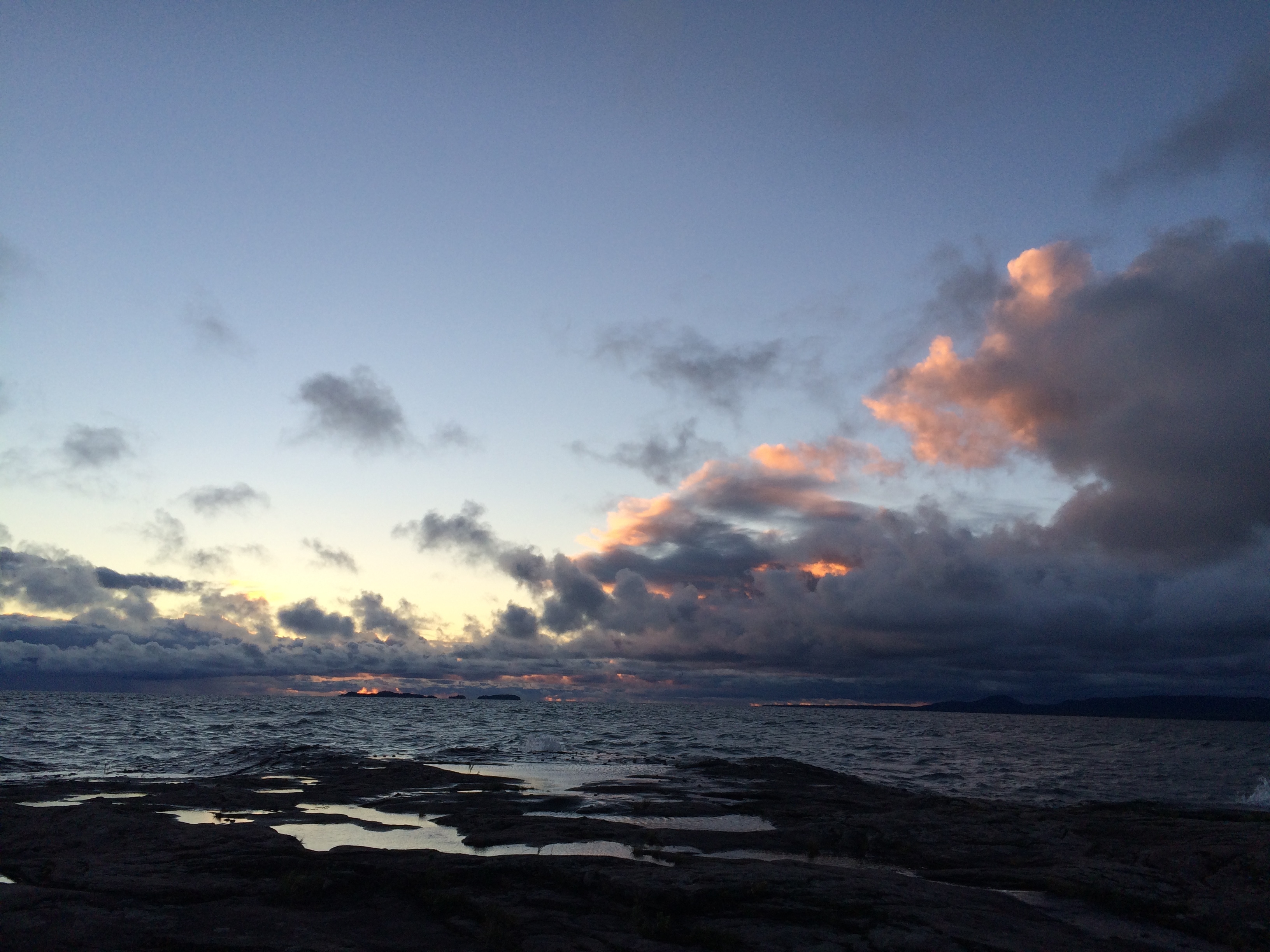
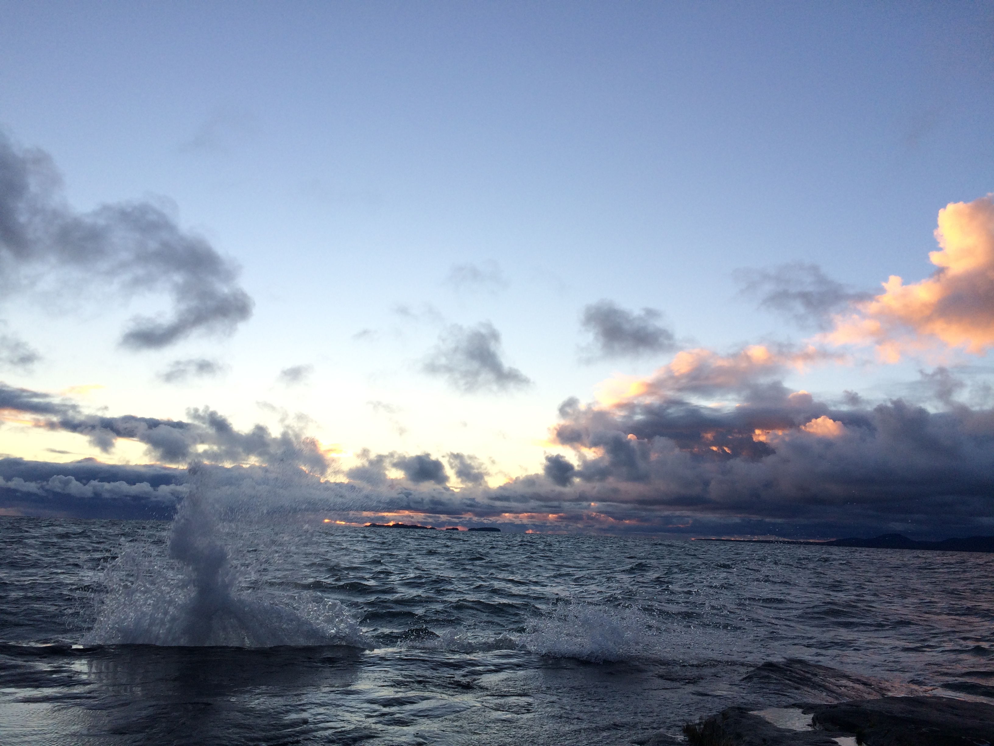
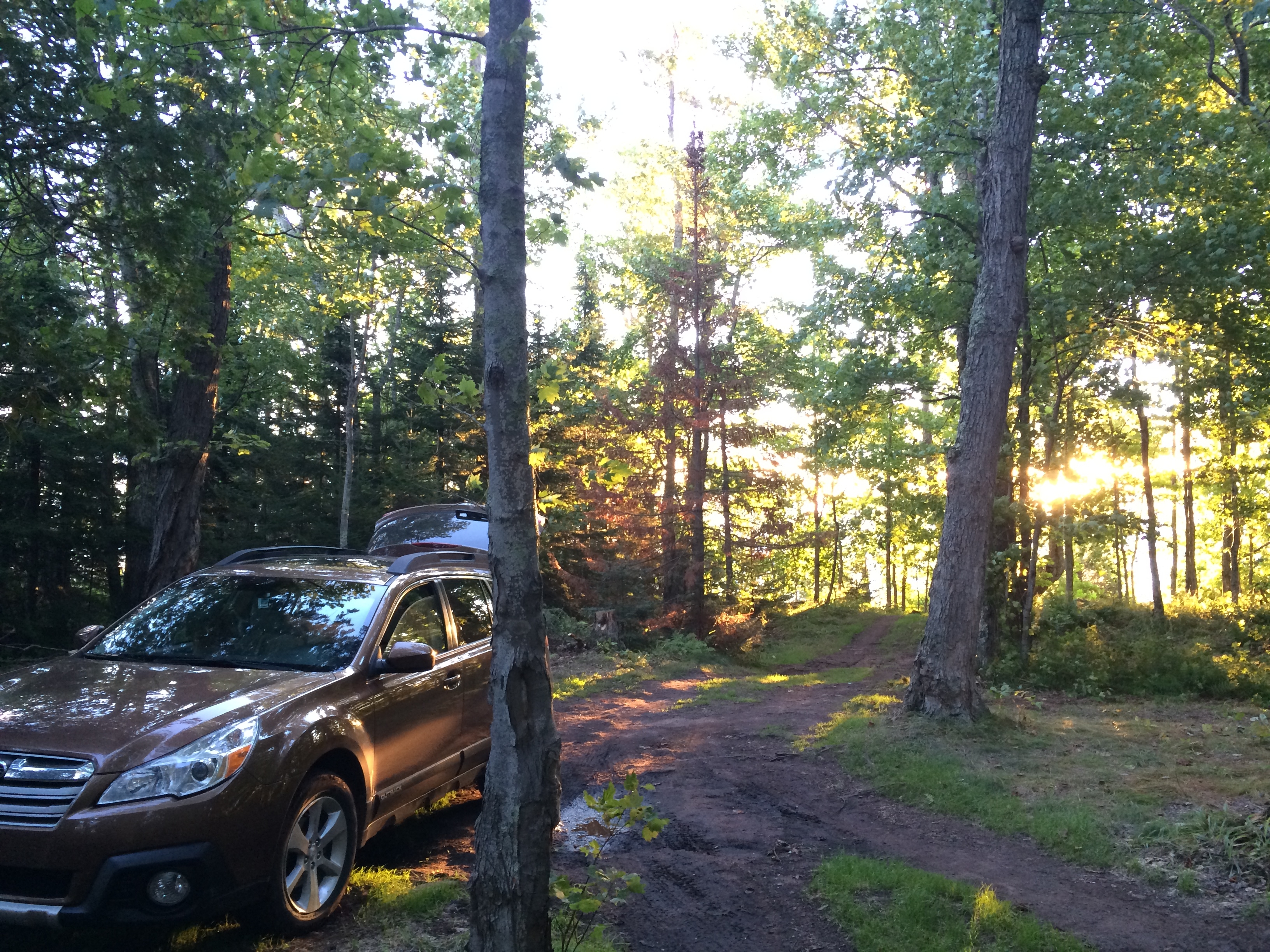
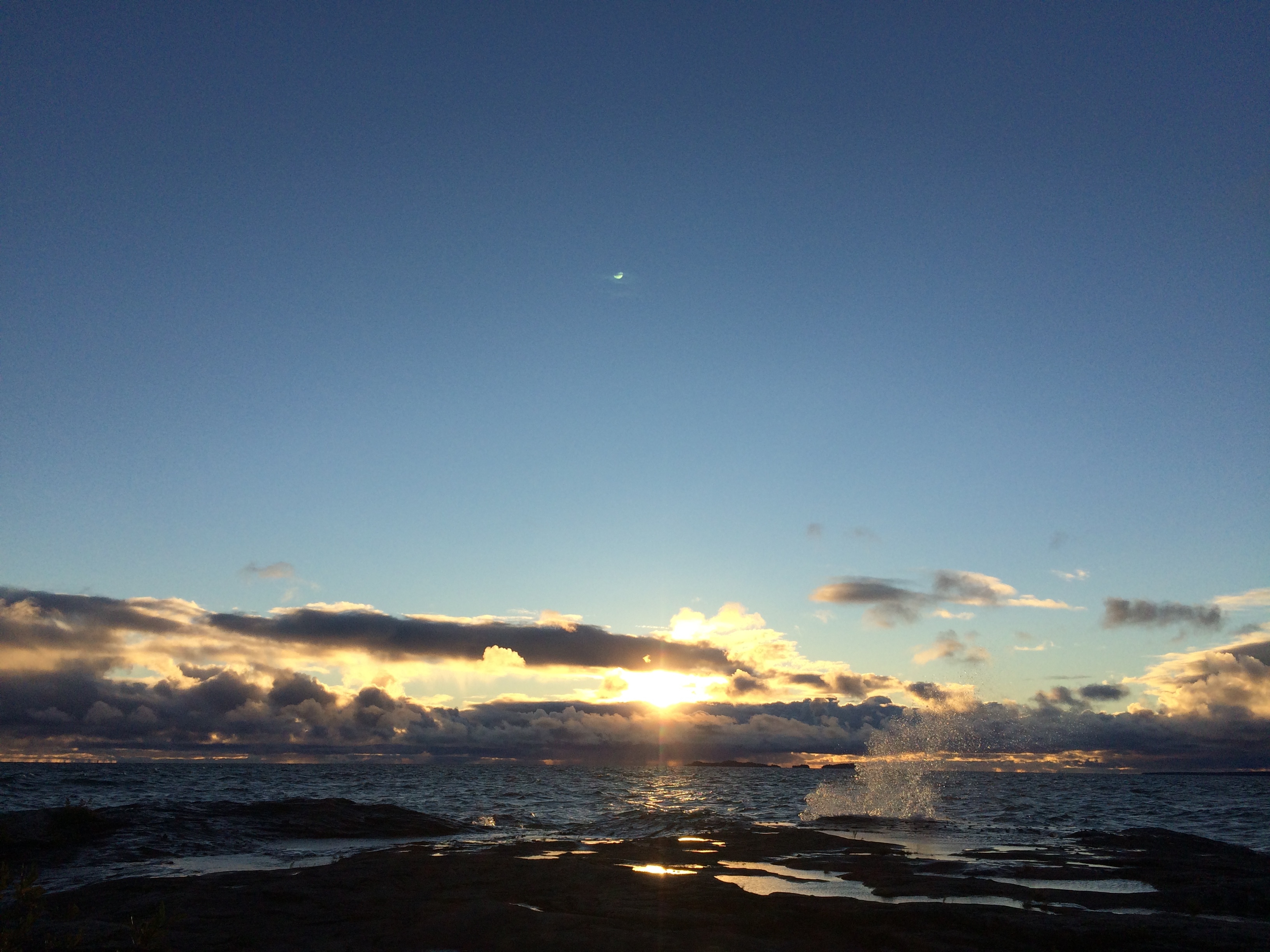
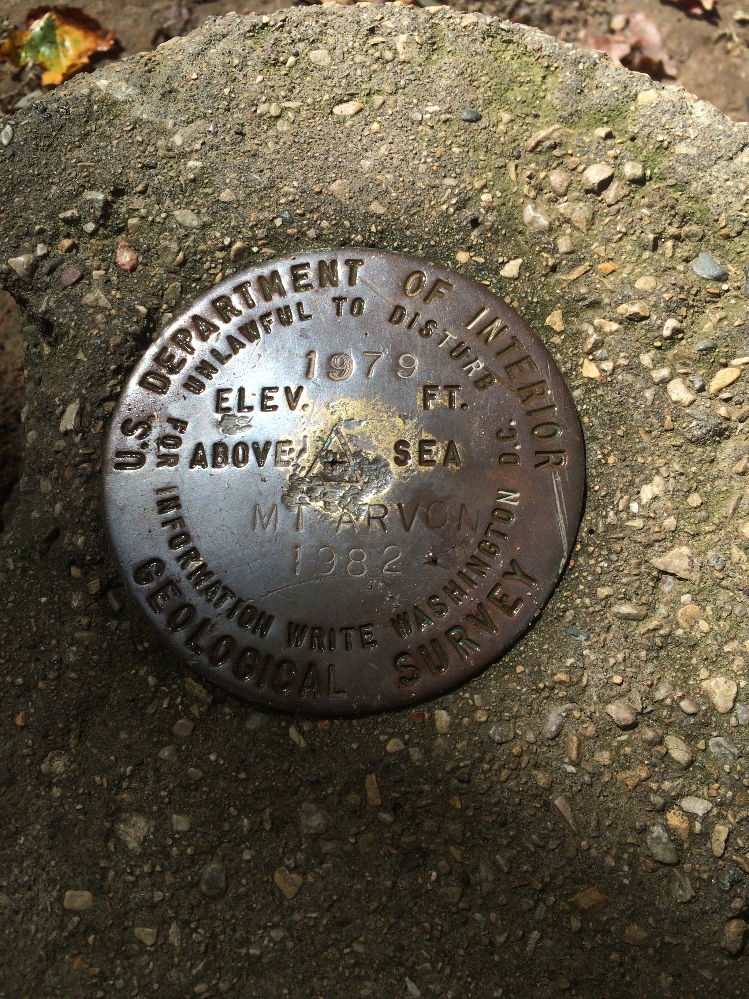
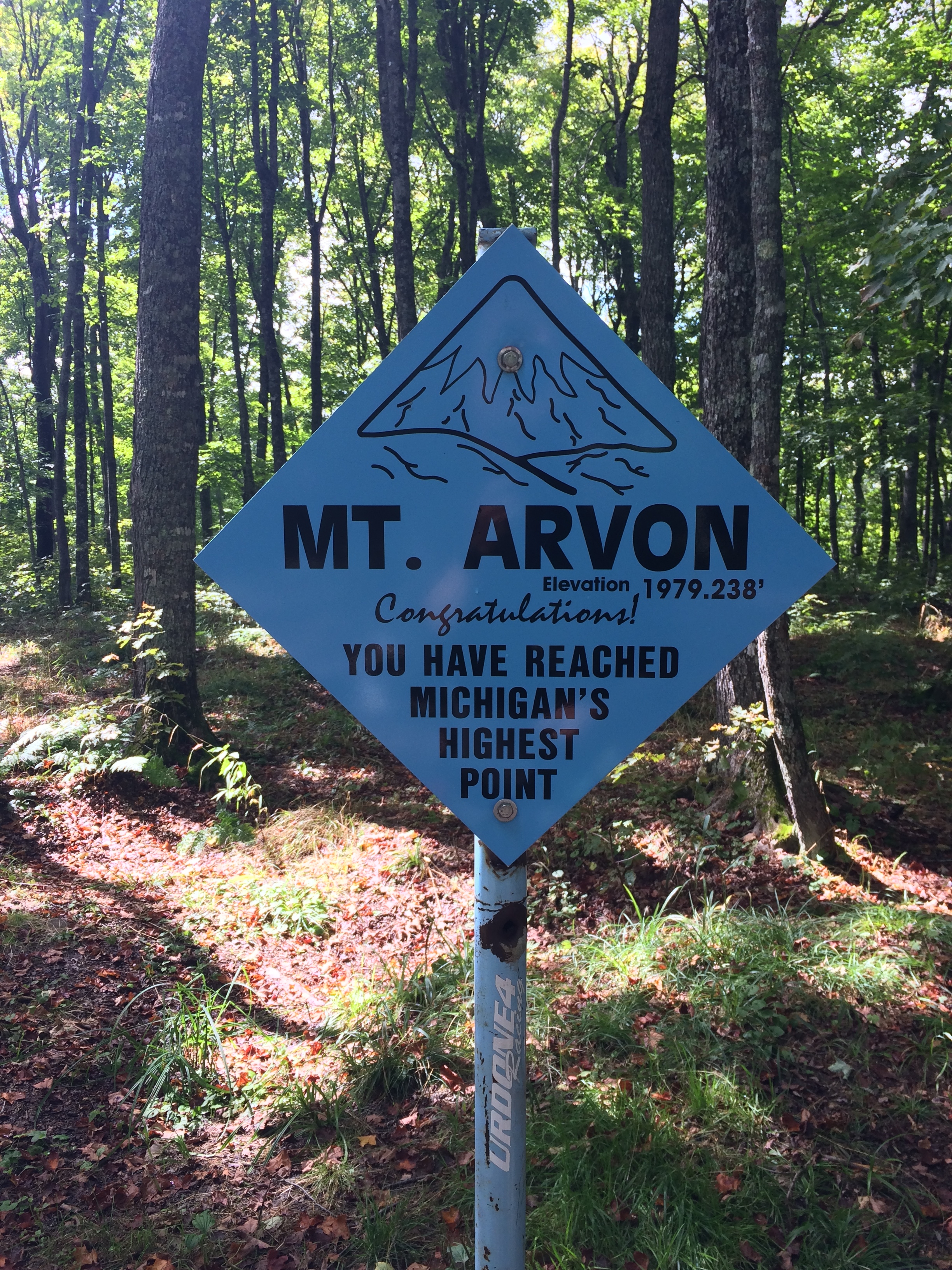
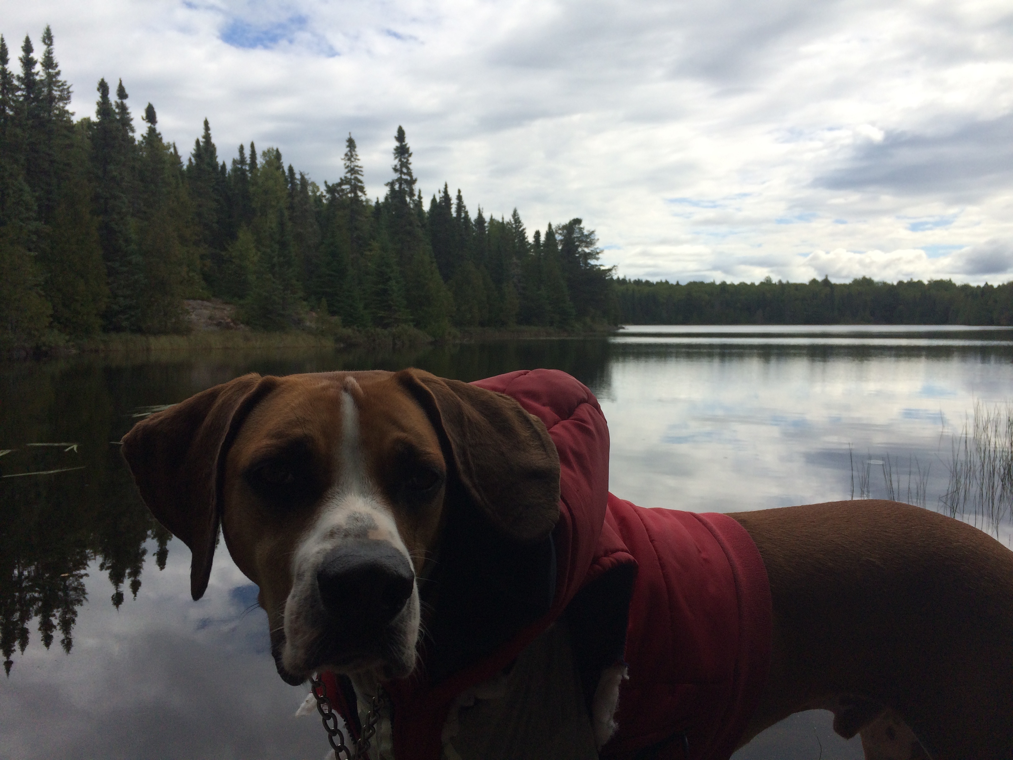
Murphy and I hiked out and we continued our drive to Michigan’s high point, Mt Arvon (1979 ft). From the advice of a fellow high pointer, Ryan Moran, Murph and I decided to camp on Point Abbaye at the tip of a peninsula on Lake Superior. The drive out went from paved, to gravel, to dirt, and ended on a rocky point where waves were crashing over. More than once I questioned whether or not I would bottom out in the Outback and how far I should push it. We made it to the end at around 230 AM. Not sure how tides work on the great lakes I was a little nervous that the water may rise overnight and the rock would start to flood so I parked about 100 ft back on the road where there was a fire ring. Climbed in the back of the Subaru to test out the sleeping platform for the first time that my dad and I built while I was at home a few weeks ago.
I woke up early the next morning to catch the sunrise. It was absolutely stunning.
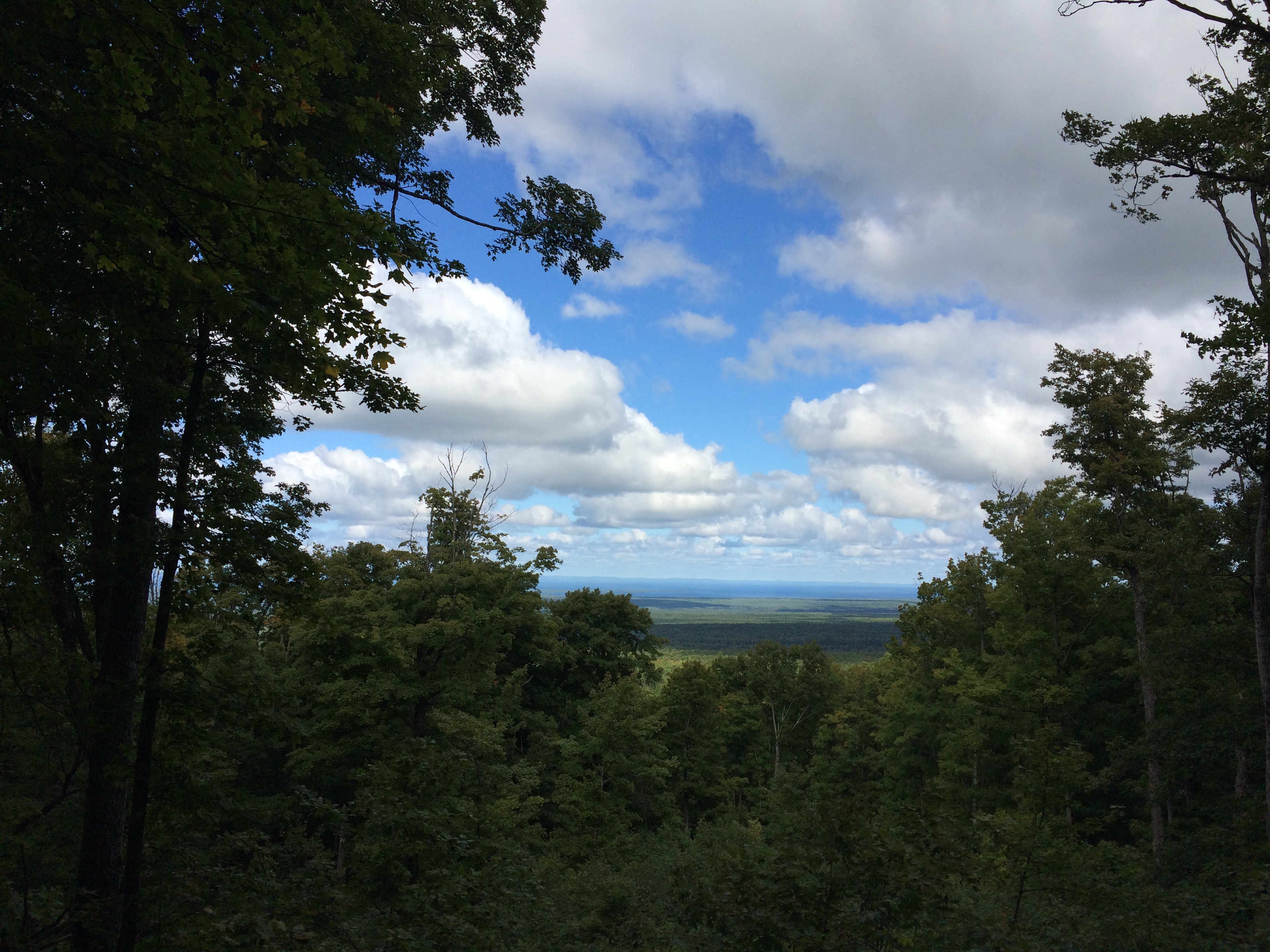
Since I only had a few hours of sleep I grabbed a couple more hours and then woke up and drove to Mt. Avon. It was pretty much a drive up high point with a small hike and a view point nearby.
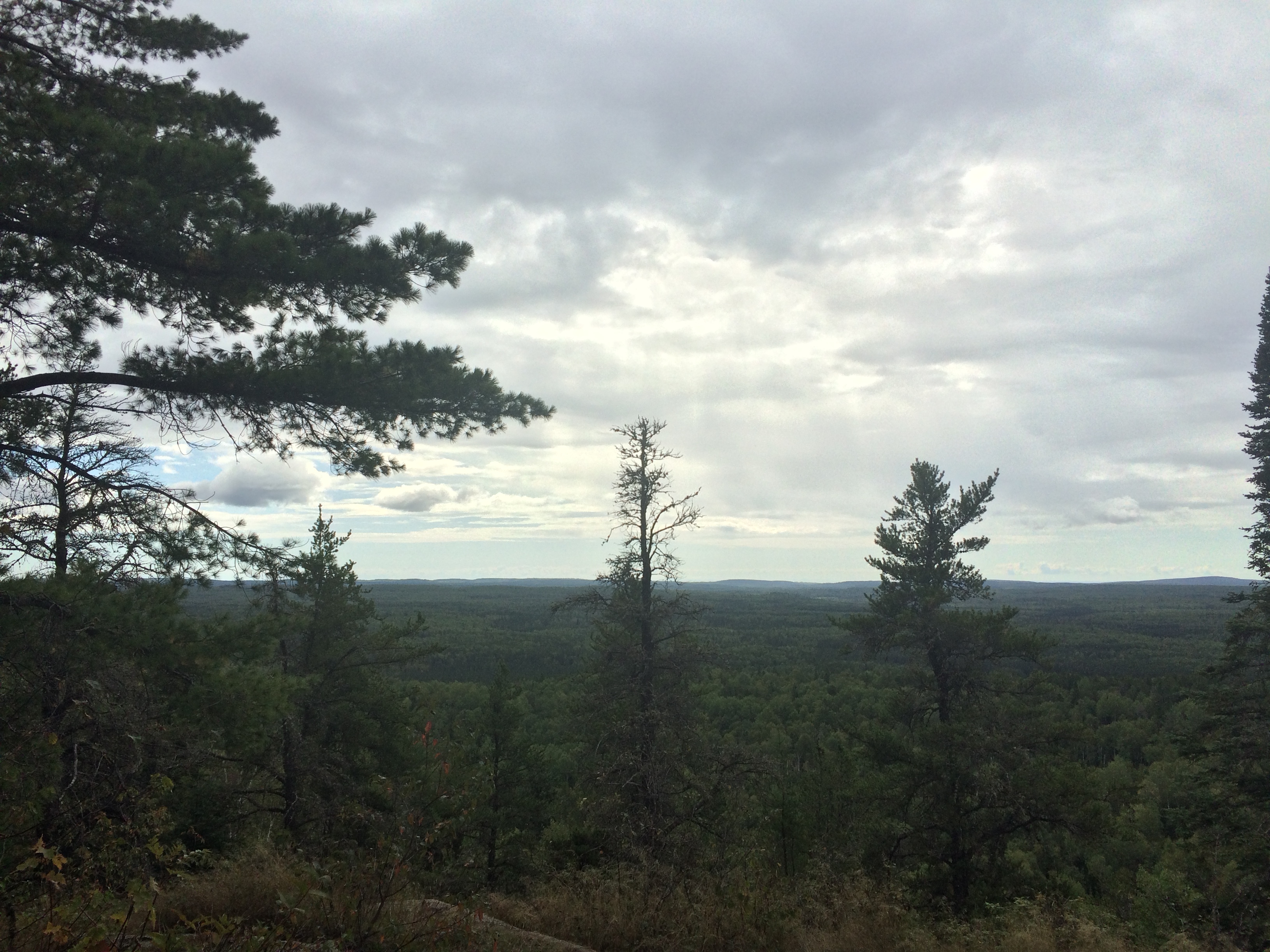
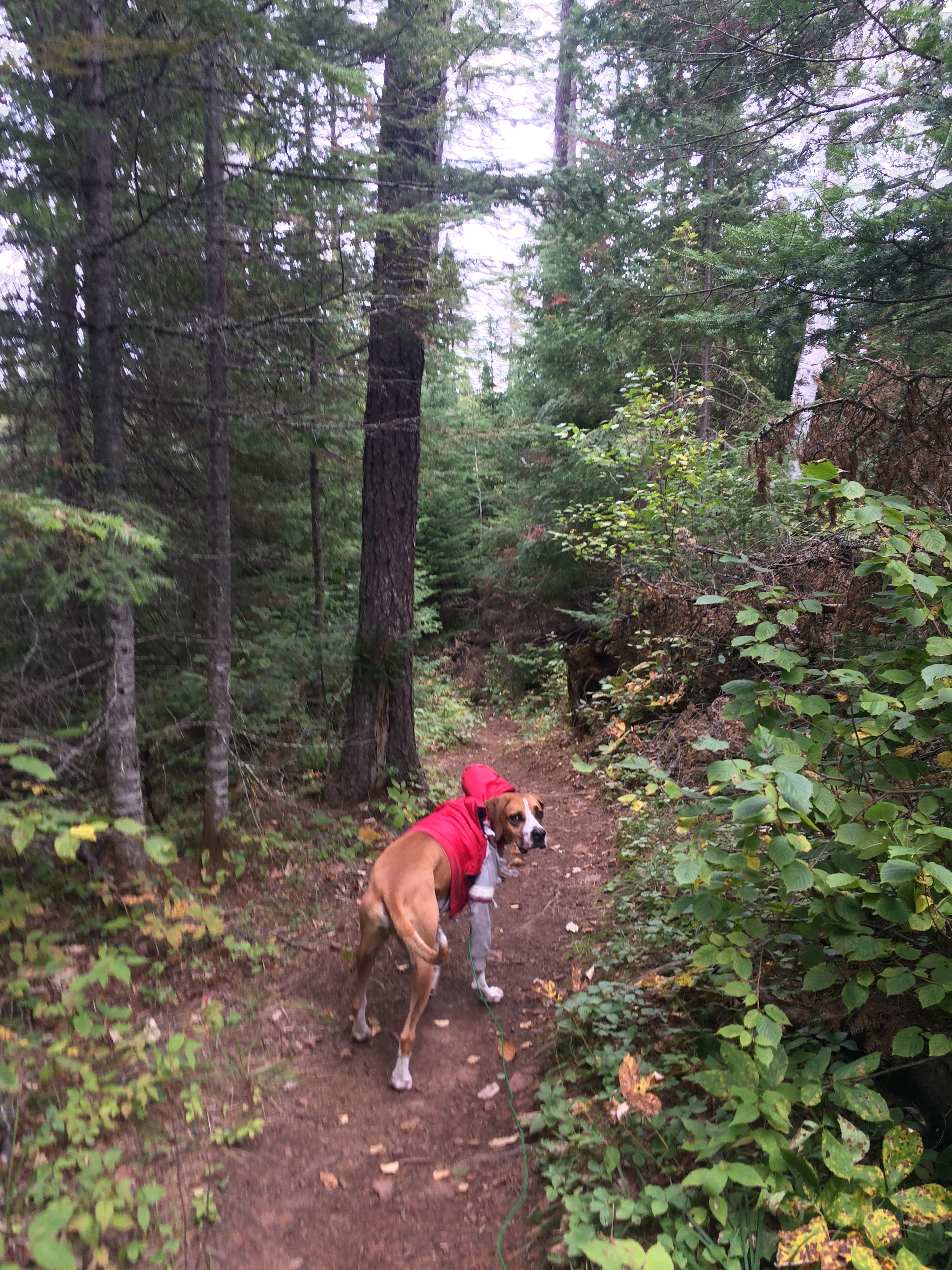
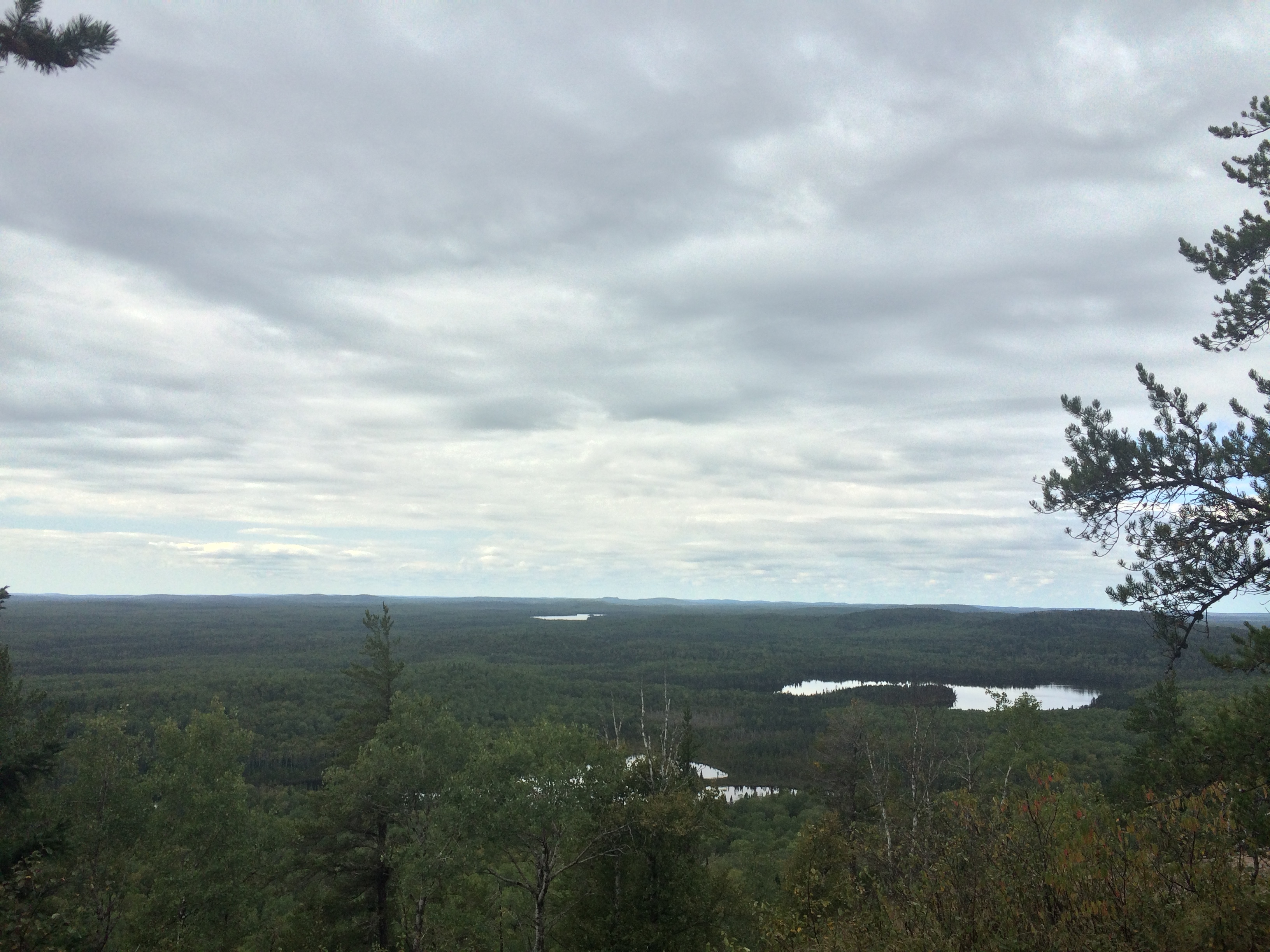
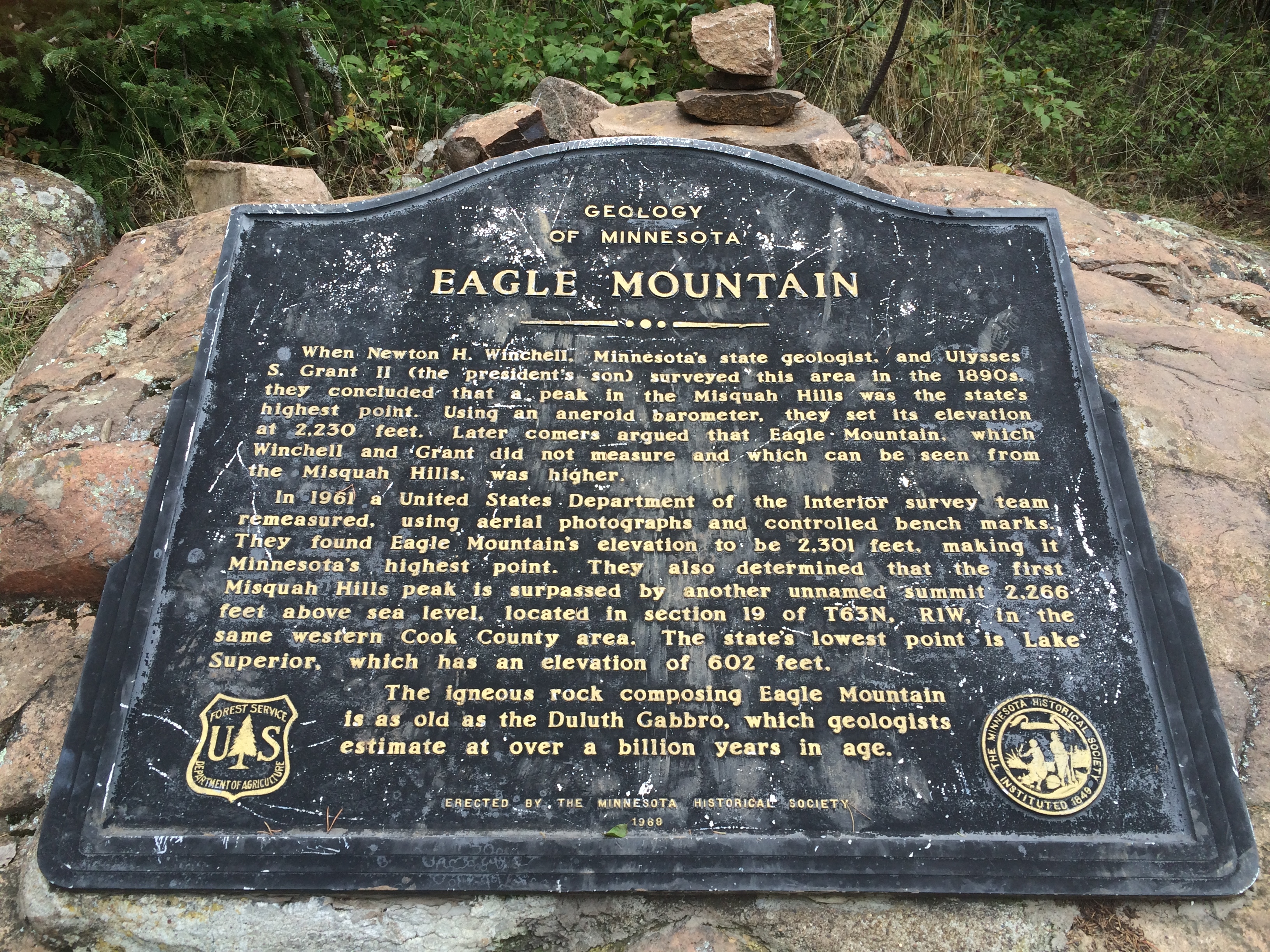
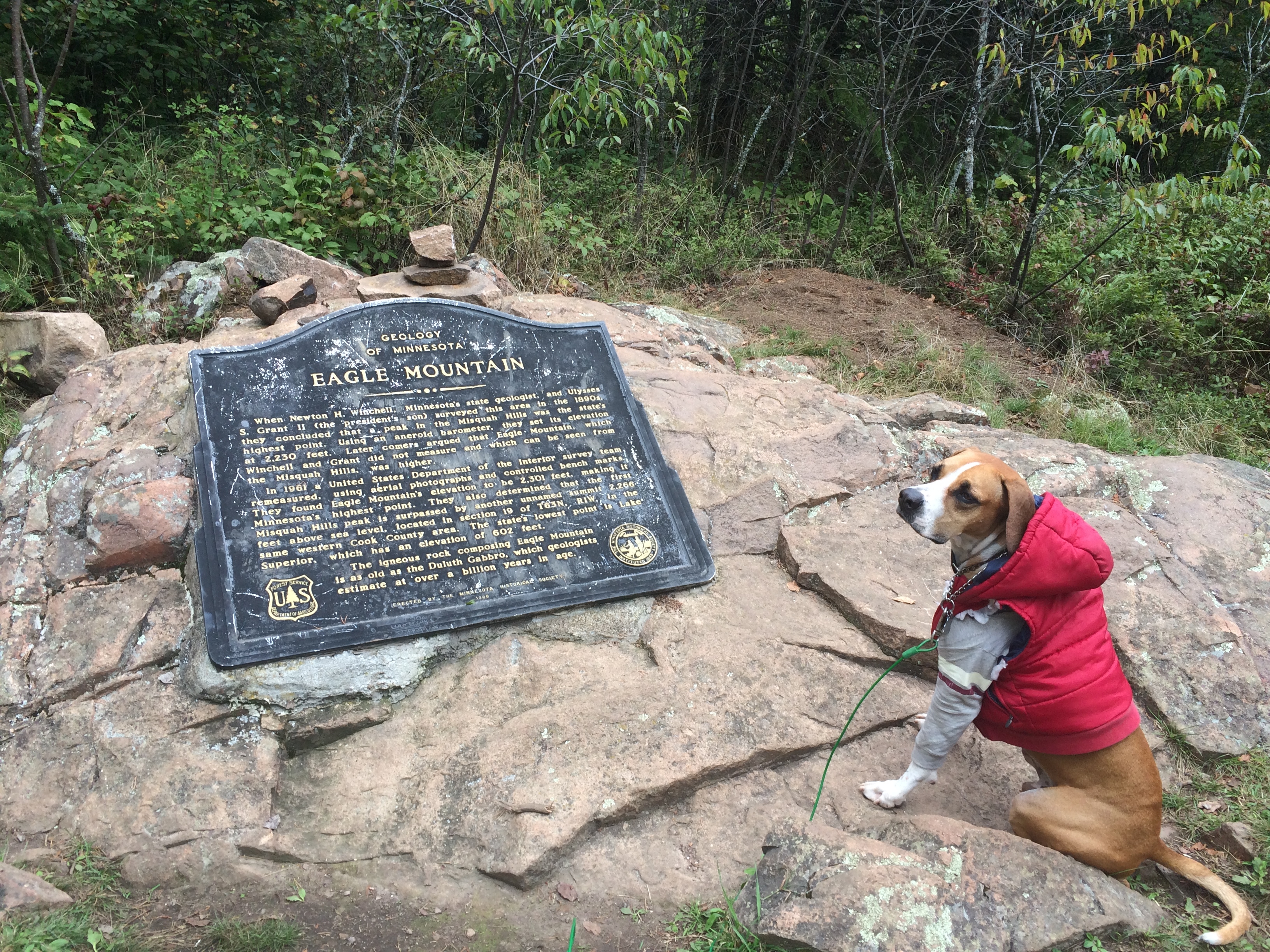
Next up was Minnesota’s high point, Eagle Mountain (2,301 ft). Got to the trailhead at around midnight and slept in the back of the Subie again. The next day I woke up made some breakfast and coffee and set out on the 7 mile round trip hike. It was a good test for my ankle and was definitely the most strenuous activity I’ve done on it since I injured it about 4 weeks ago. It was tight, but felt relatively good. Helped give me some hope for the upcoming climb of Rainier.
After the hike we chilled near the trailhead and hung out with a couple from the Twin Cities, Keith and Aly, who were up in the area for the weekend. It was nice to talk to some other people after only having Murph to hang out with for the last few days. Next we set out on the long drive to North Dakota’s high point. Just across the border we stopped at a rest stop and spent another night in the back of the Subaru.
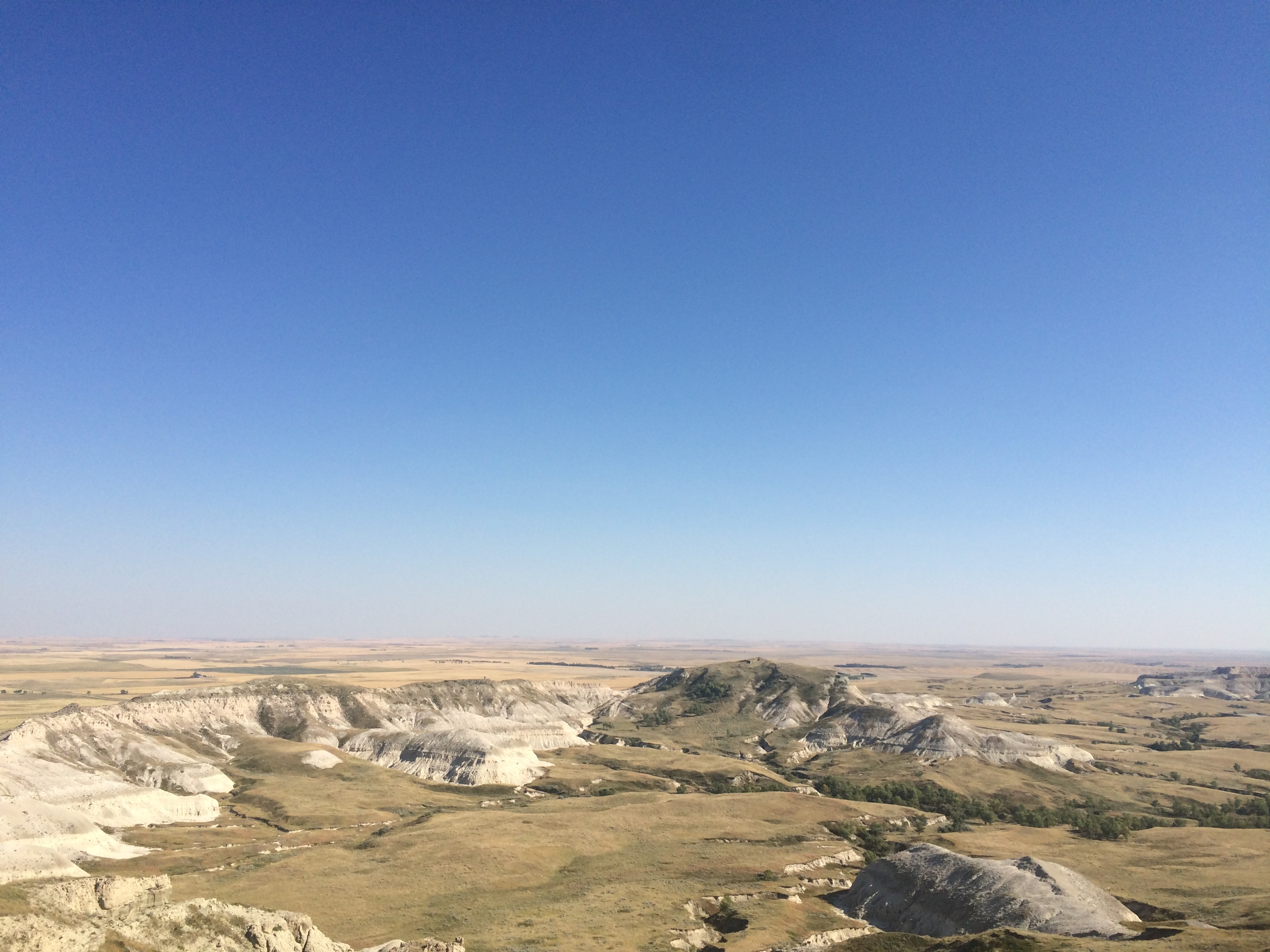
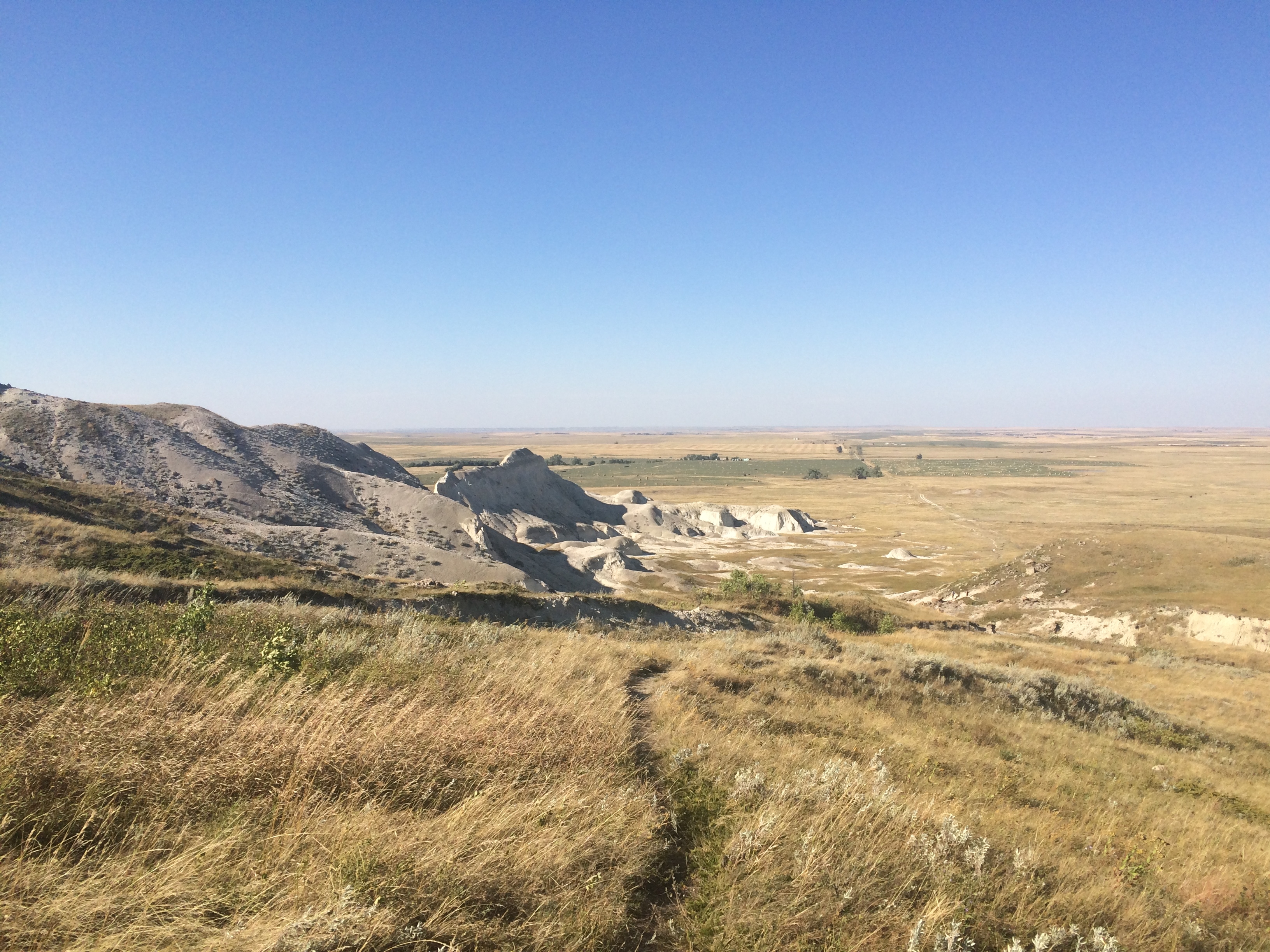
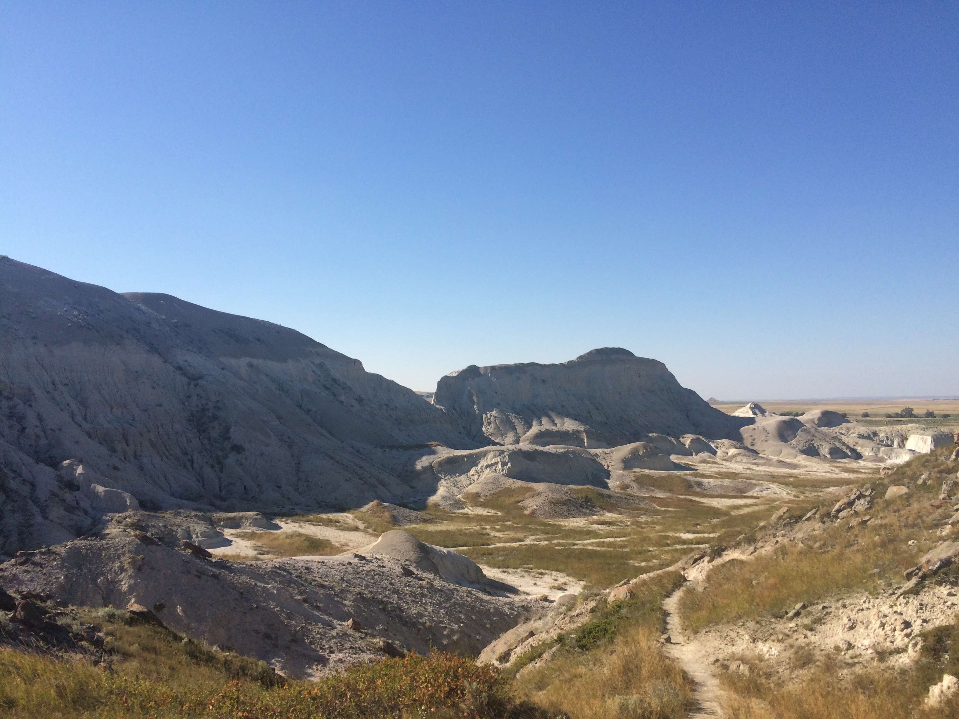
The next day we continued the drive to White Butte (3,507 ft). Murph and I did the short 3 mi round trip hike with a couple who was there from San Francisco. After the high point we headed to Theodore Roosevelt National Park and stayed at the Cottonwood campground so we could spend a night in the tent instead of the car.
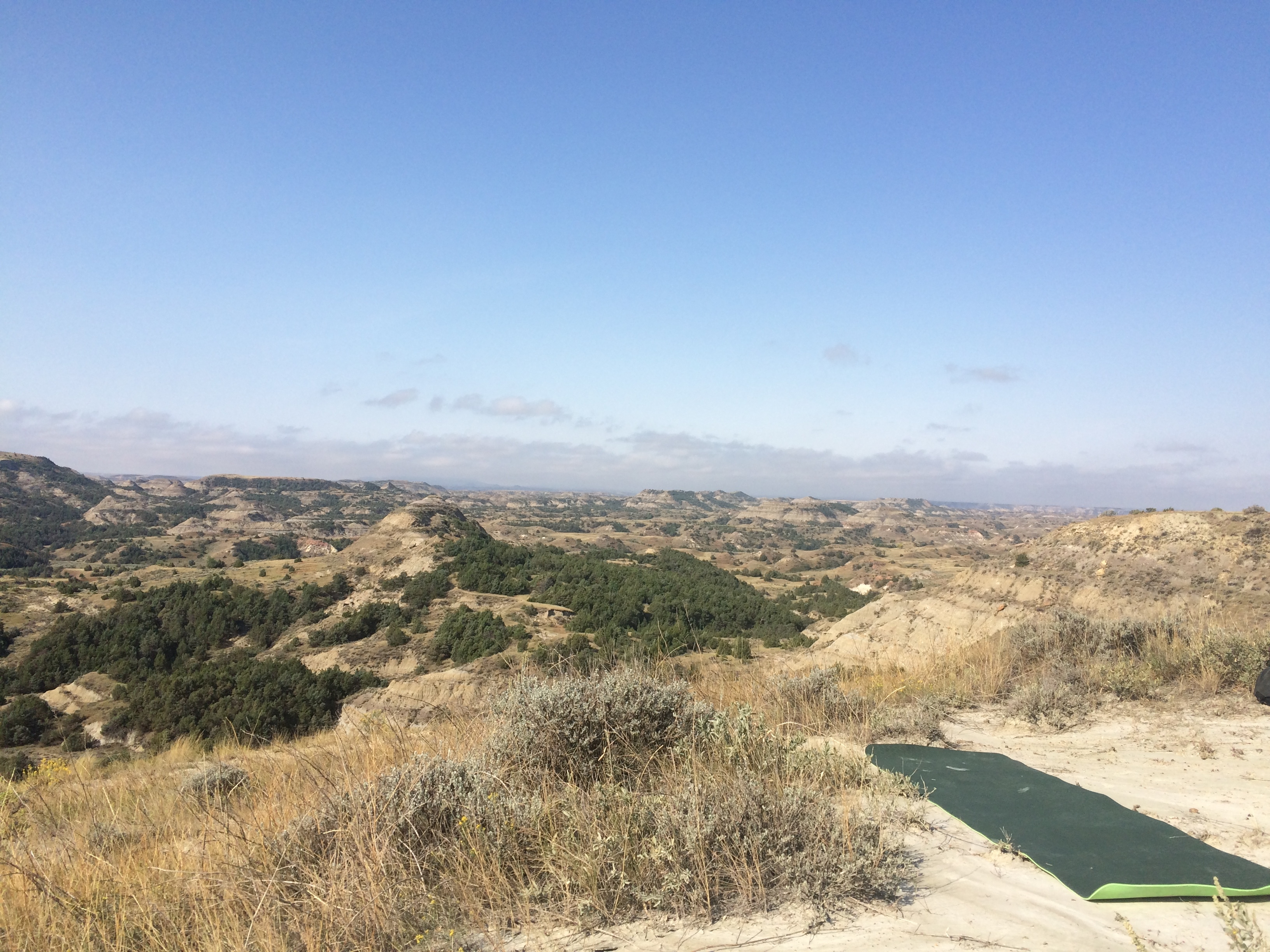
The campground was right on the Little Missouri River. Murph crawled right in the tent while I had a fire and ate some food. The next day we did the scenic drive around the South Unit of Theodor Roosevelt National Park. Stopped at Buck Hill, hiked up and did some yoga with some great views. After we left the park we stopped at a coffee shop to figure out our next move. Decided to head to Borah Peak, Idaho’s high point, and stop at Big Sky, MT on the way.
Last night we slept in the back of the Subaru again at a USFS trailhead just outside of Big Sky and now I’m waiting out a dreary, rainy day, in a coffee shop in town. The rain has just started to break and you can see some snow on top of the mountains in the distance. First snowfall of the year it sounds like from the discussions of the locals. I suppose it’s time to hit the road again and see if Borah Peak will be possible. It’s one of the tougher high points and the weather isn’t looking too favorable, so we will see!
