Tonopah, NV to Boundary Peak Base – 78 miles
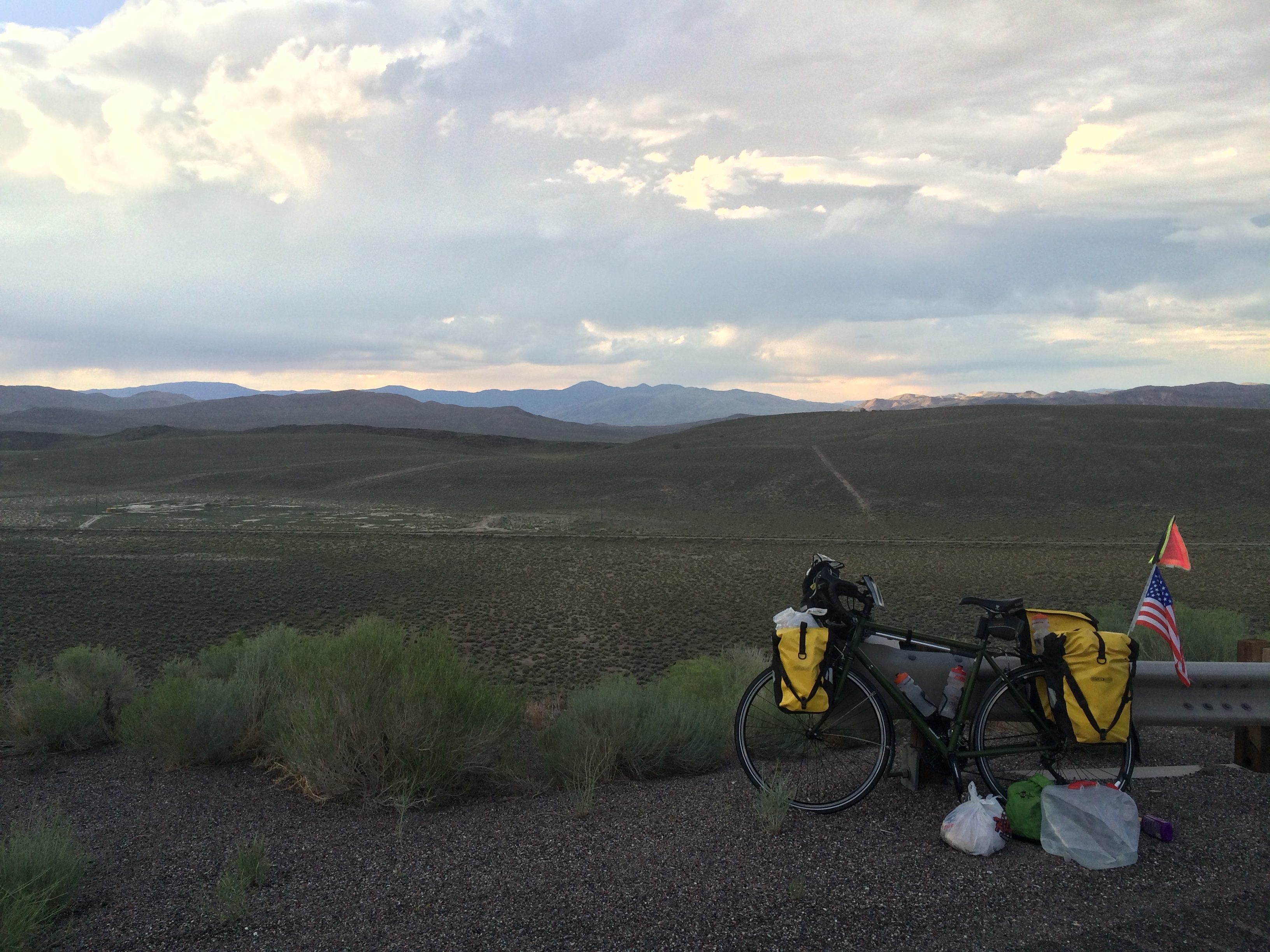
I woke up just outside of Tonopah, NV in the desert. Low on supplies from the long unsupported ride from Ely to Tonopah and unmotivated to take care of it the day before when I arrived in Tonopah, I decided to head back into town to get groceries and formulate a plan for water. Went to the grocery store and stocked up on fruits, vegetables, and granola bars, then I grabbed some breakfast at the Cafe in Tonopah Station, a hotel/casino/restaurant all-in-one.
I took my time since by now an early start was not in the cards. After breakfast I went back to the gas station where I had eaten at the Burger King the night before. I filled my 2.5 gallon jug with water and started asking people filling up with gas if they were headed west on Hwy 6. It took awhile, but I finally found a family from Belgium who were going from Las Vegas to Mammoth Lakes. The dad’s name was Joris and he agreed to take the water for me. I told him that I was planning on hiking Boundary Peak and anywhere near the turn off for it would be fine. Since I didn’t really know of any landmarks in particular he said he would send me a text with a picture when he found somewhere to drop it.
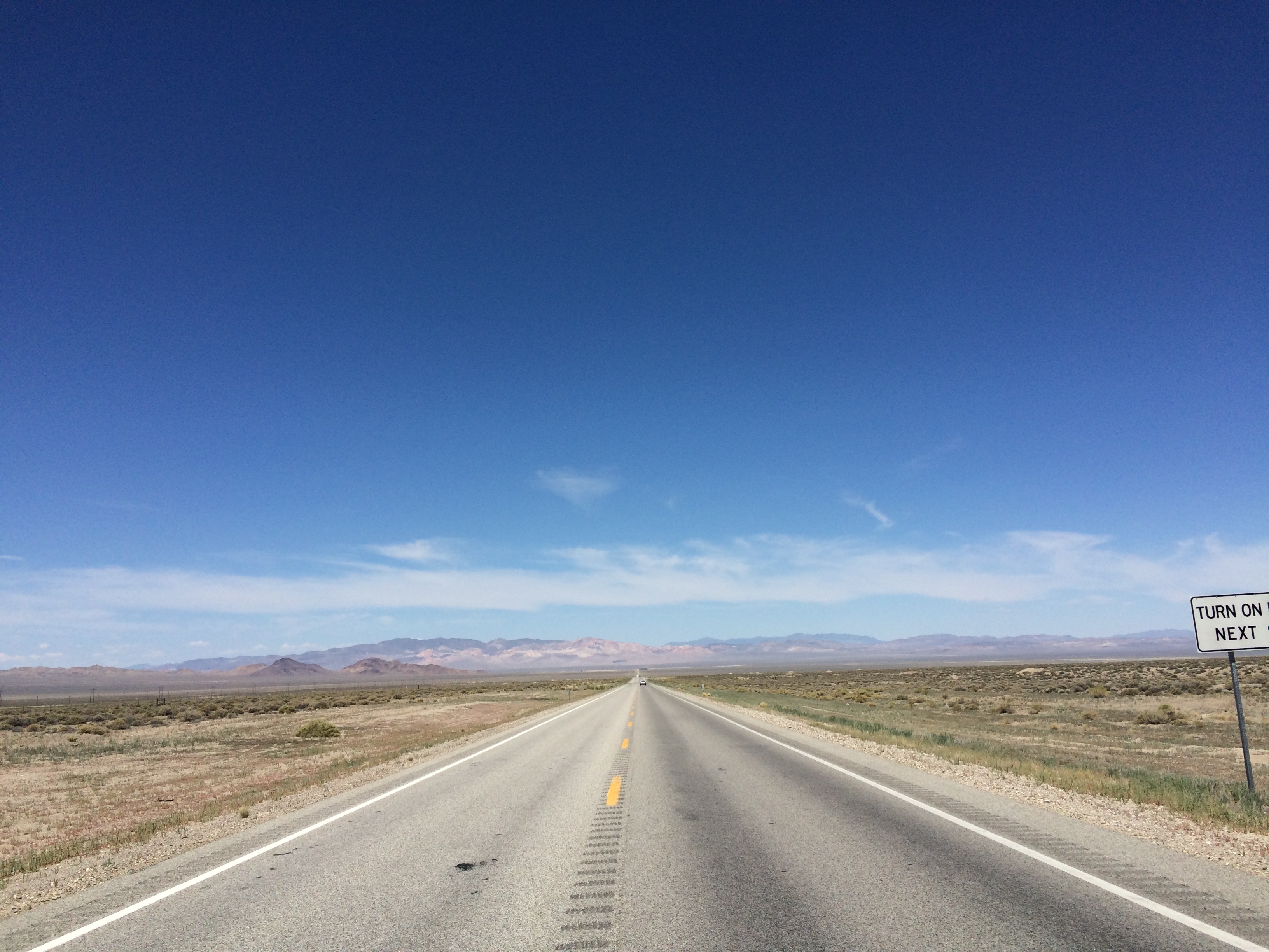
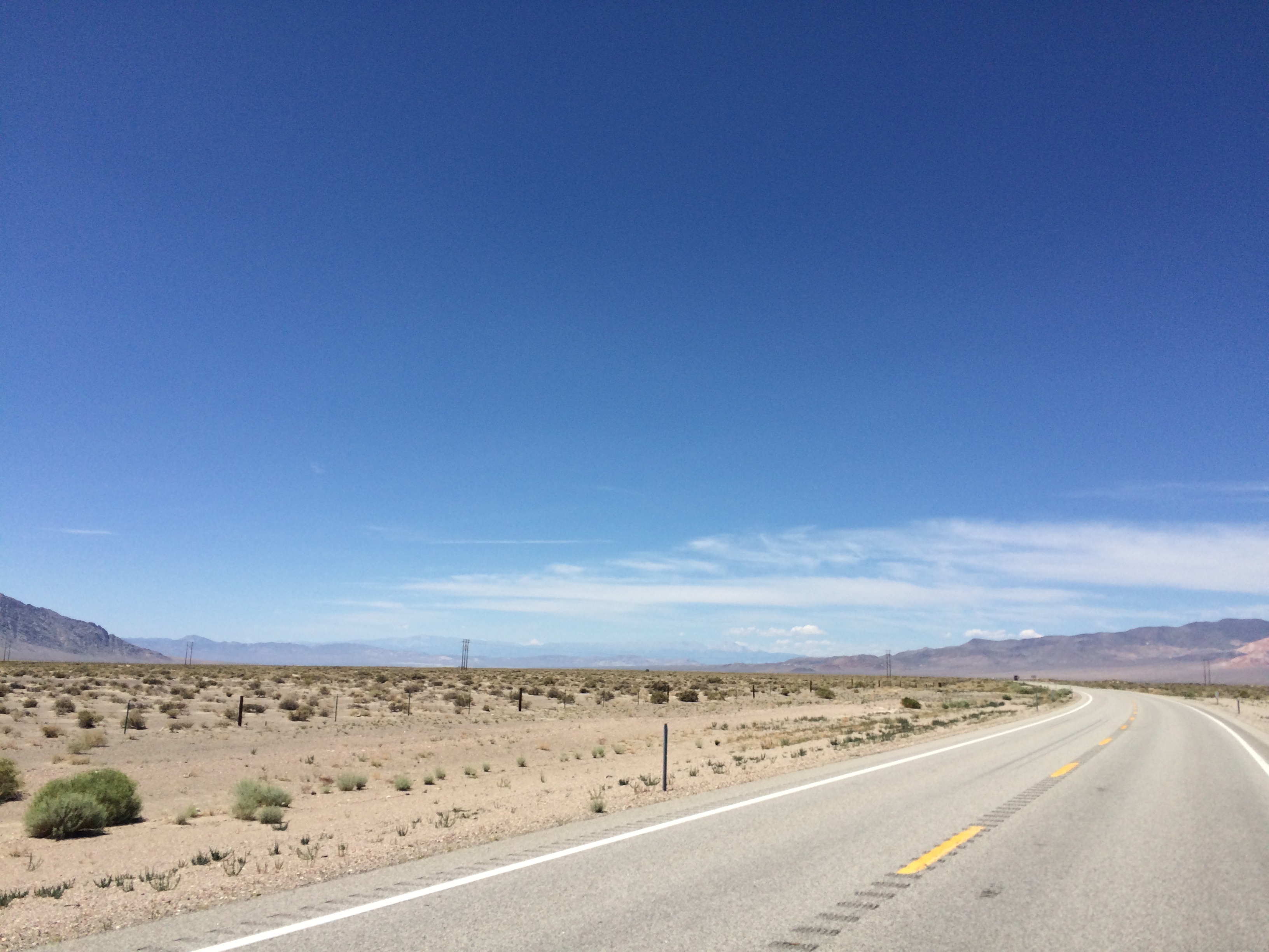
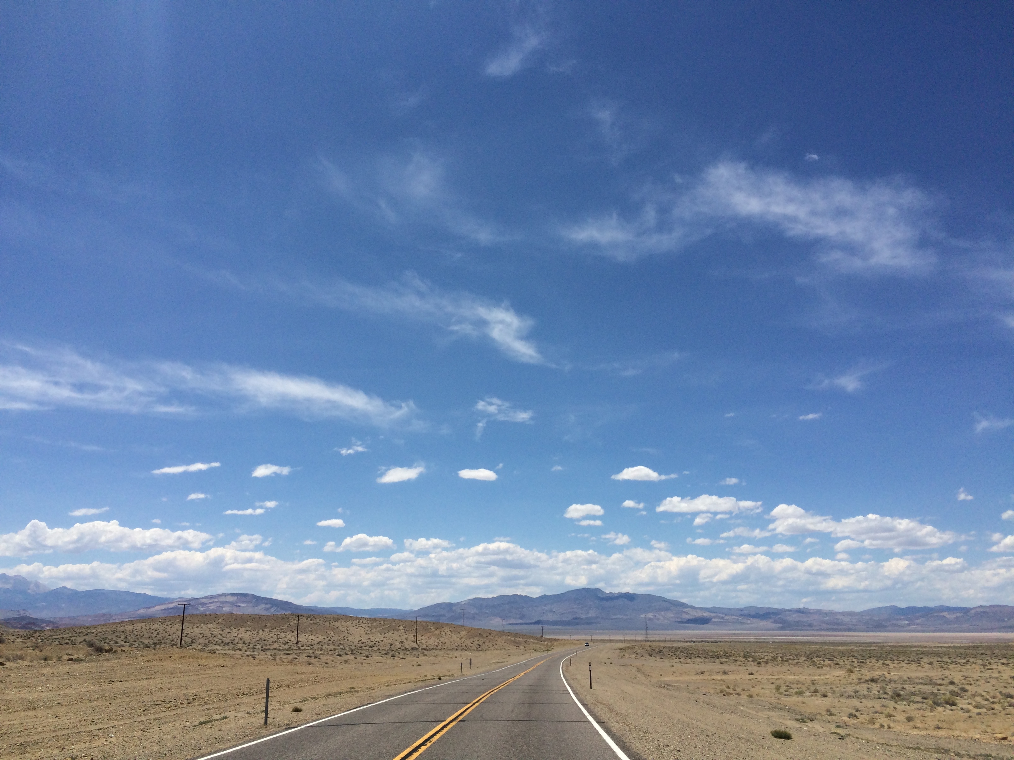
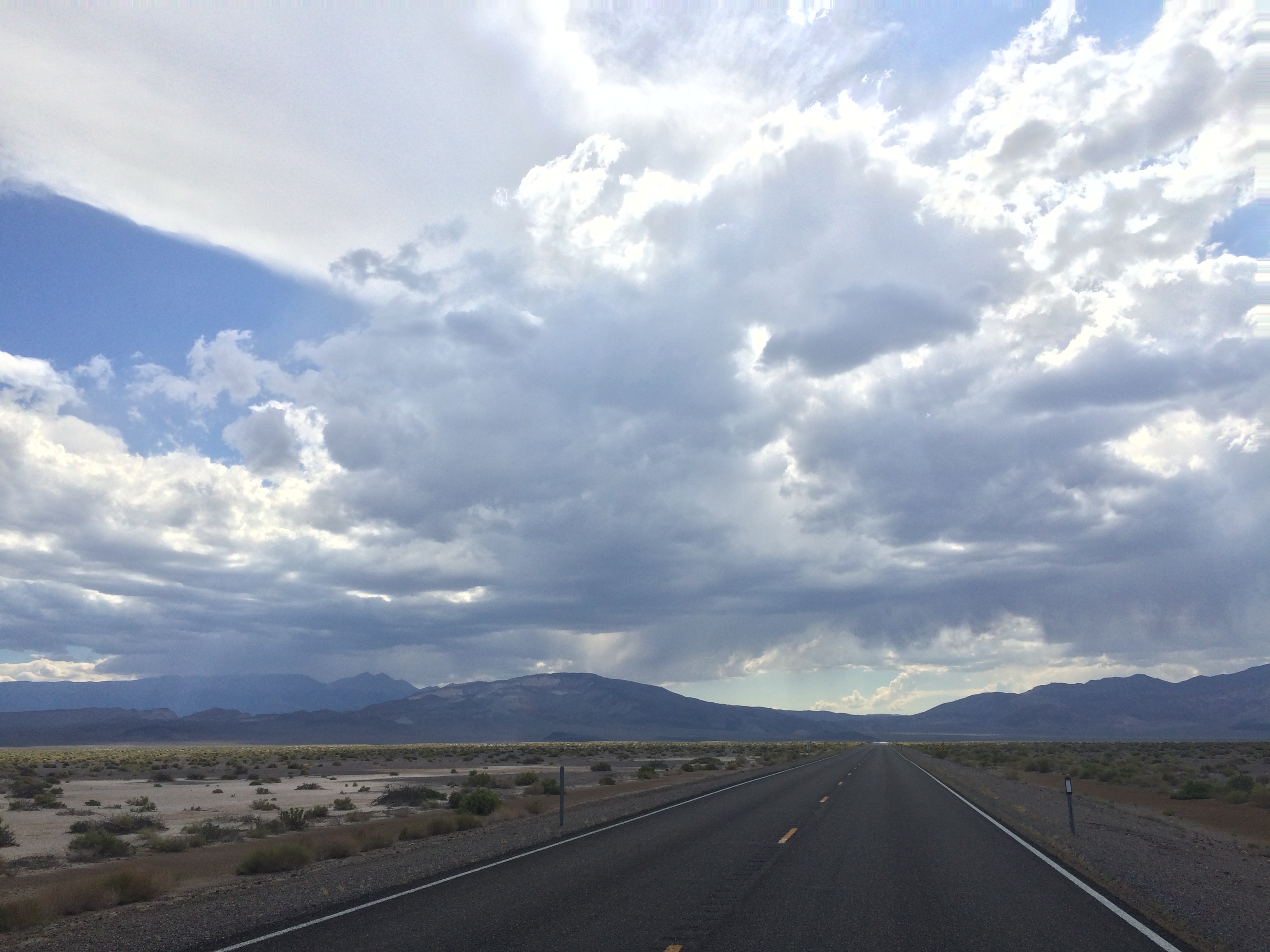
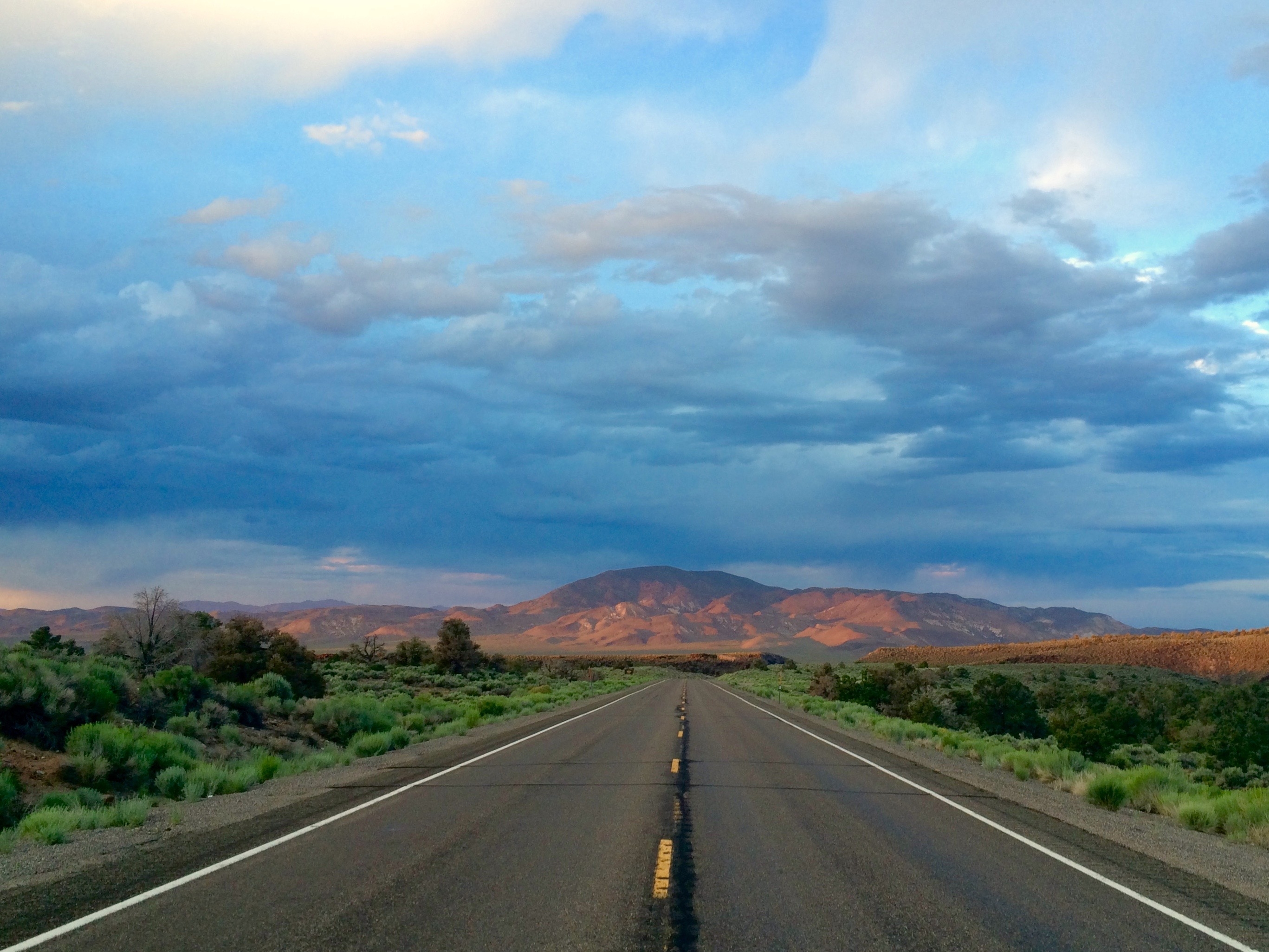
By the time I started my ride it was already around 11, I think. Although the first 50 miles were pretty much downhill with a good tailwind the traffic was horrid. There was little to no shoulder and where there was a shoulder it was dominated by rumble strips. I hate rumble strips.
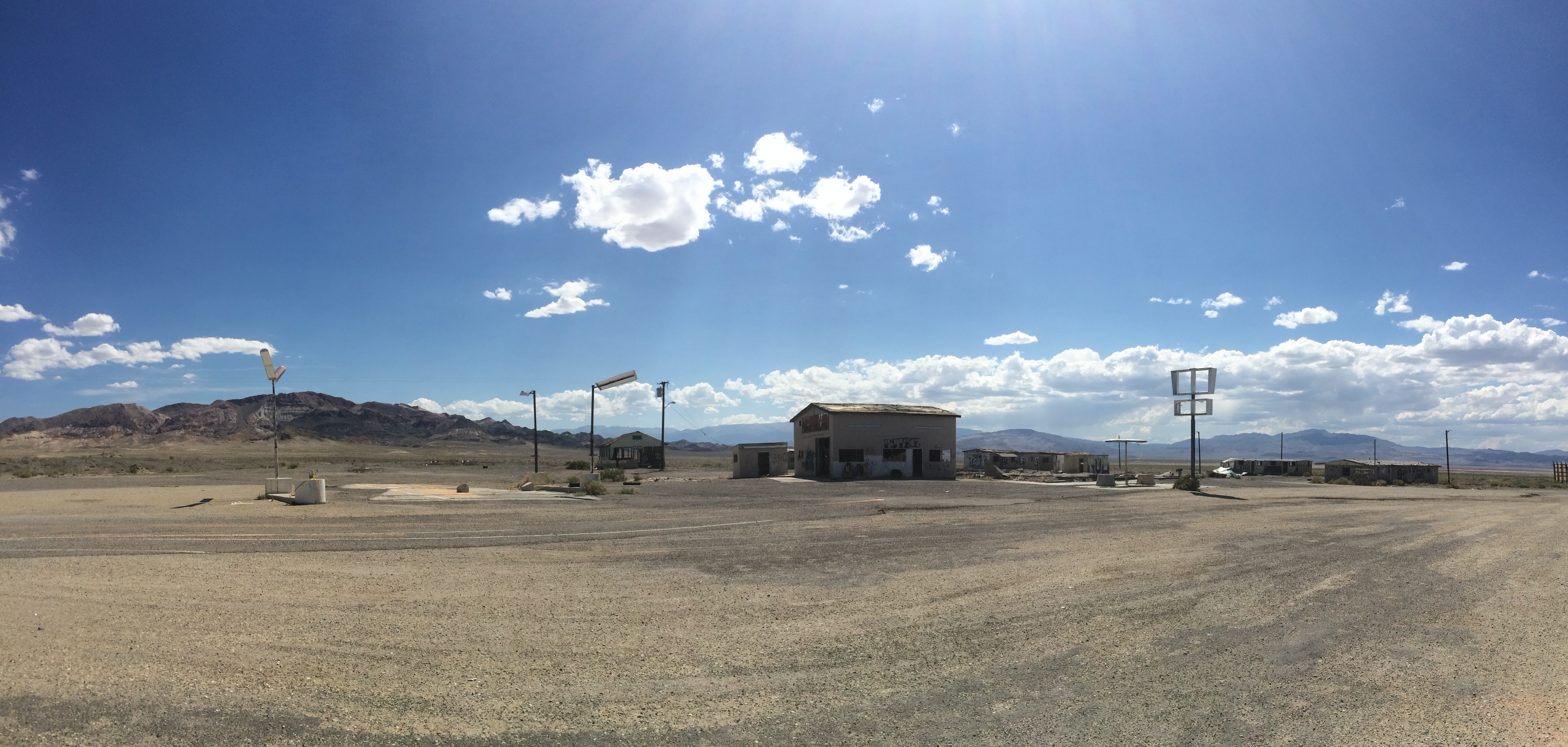
I had to jump off the road into the dirt several times due to heavy traffic. I was a little frustrated to say the least and it was starting to get pretty hot, so I decided to stop for awhile when I got to Coaldale Junction, a ghost town at the junction of Hwy 6 and 95. I found some shade, ate some food, and drank some water for a couple hours.
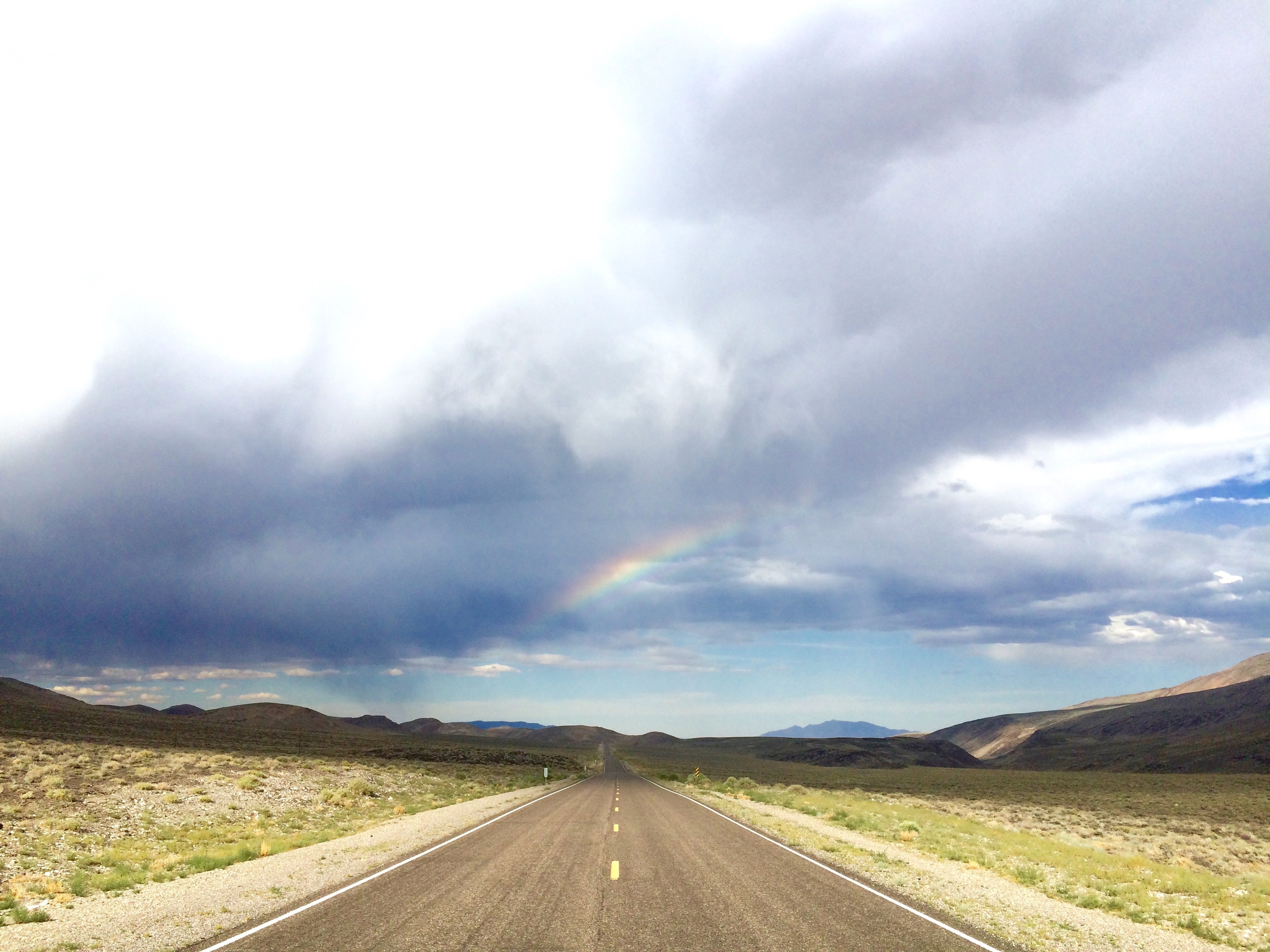
I was back on the road around 4 or 5 and the tailwind had turned into a headwind as I started climbing a pass. It threatened to rain for awhile, but never did, and I ended up getting another cool rainbow.
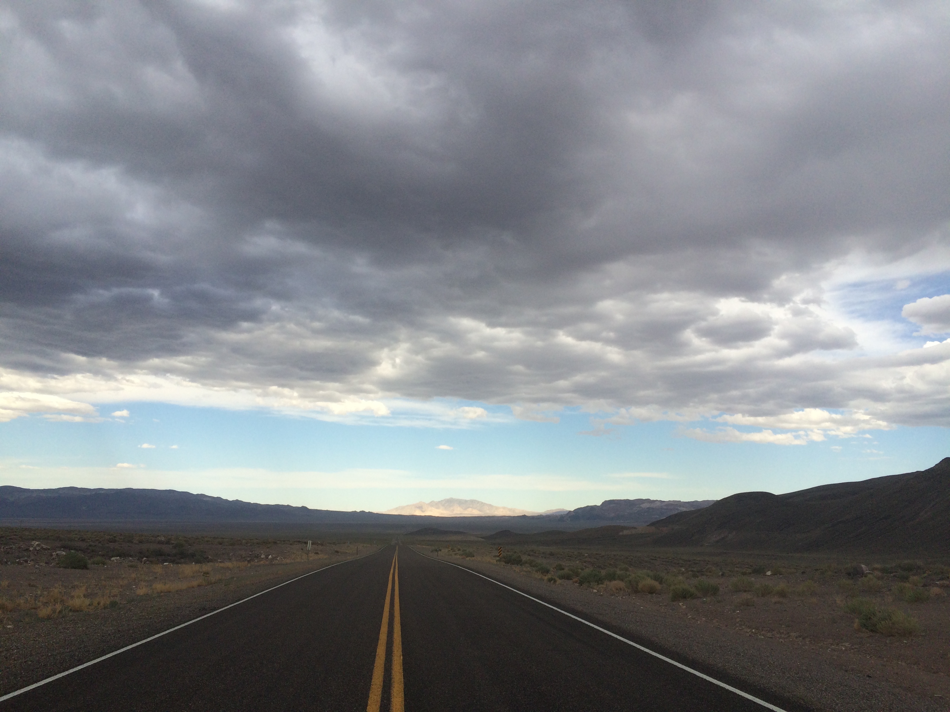
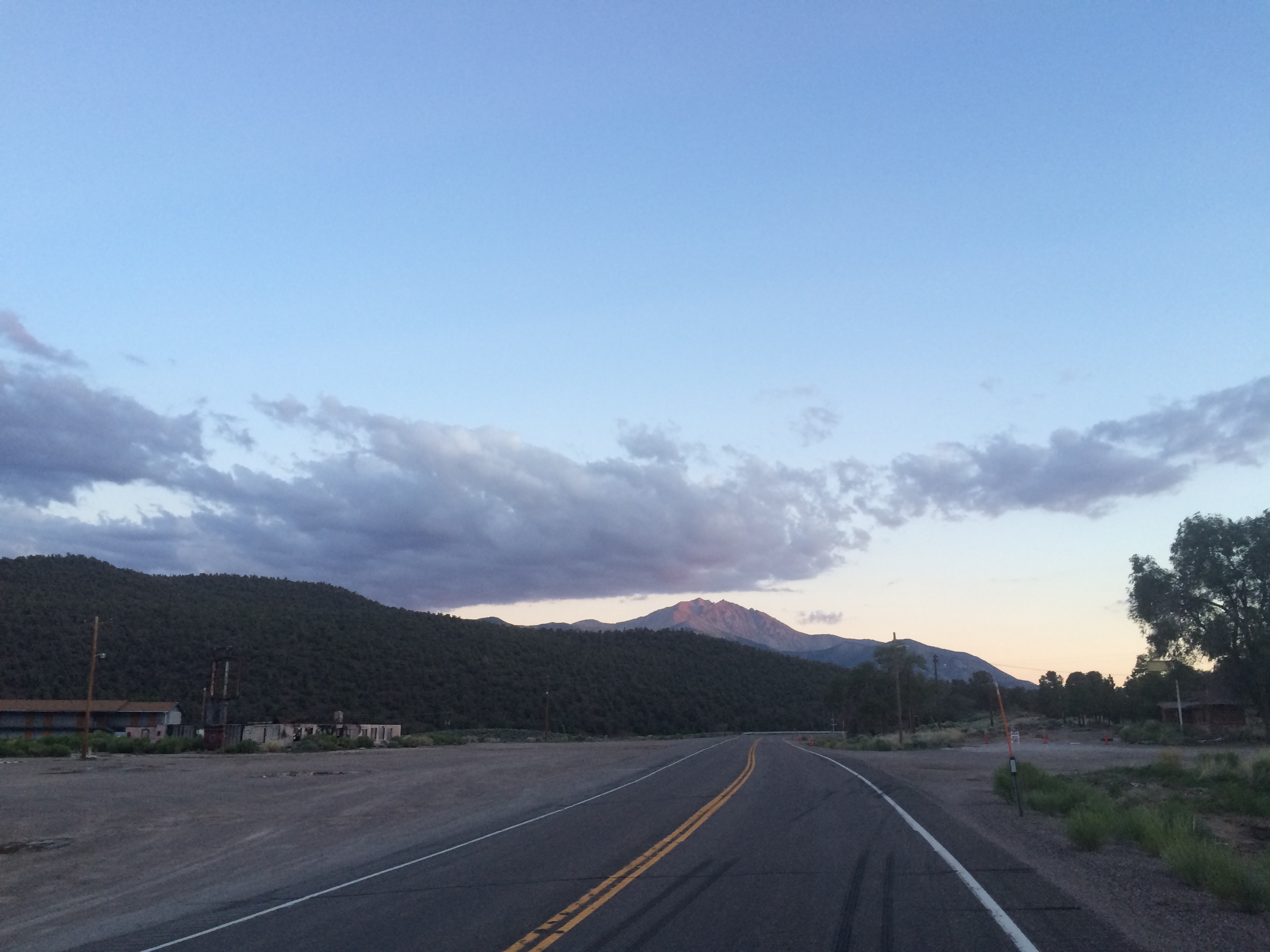
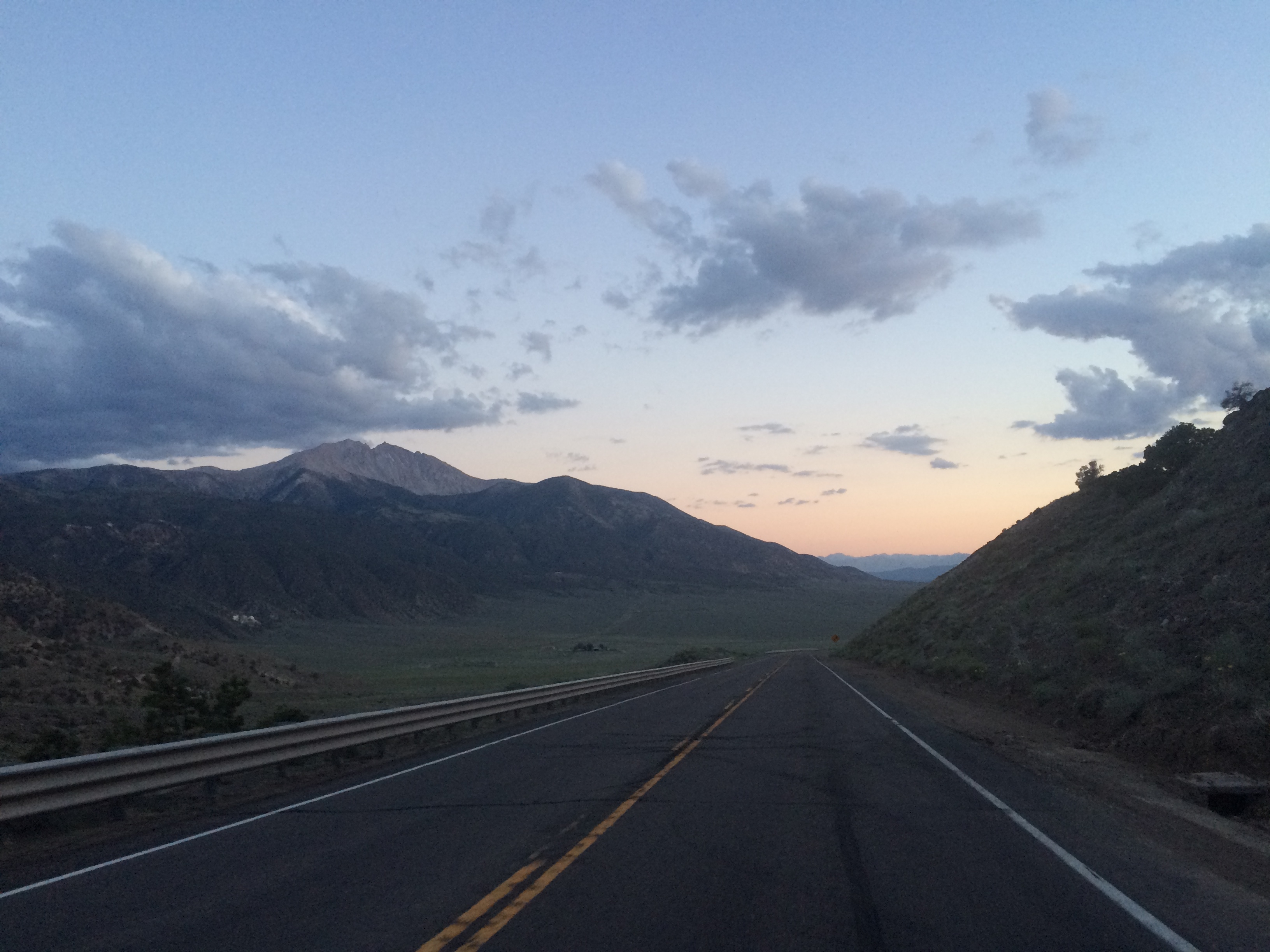
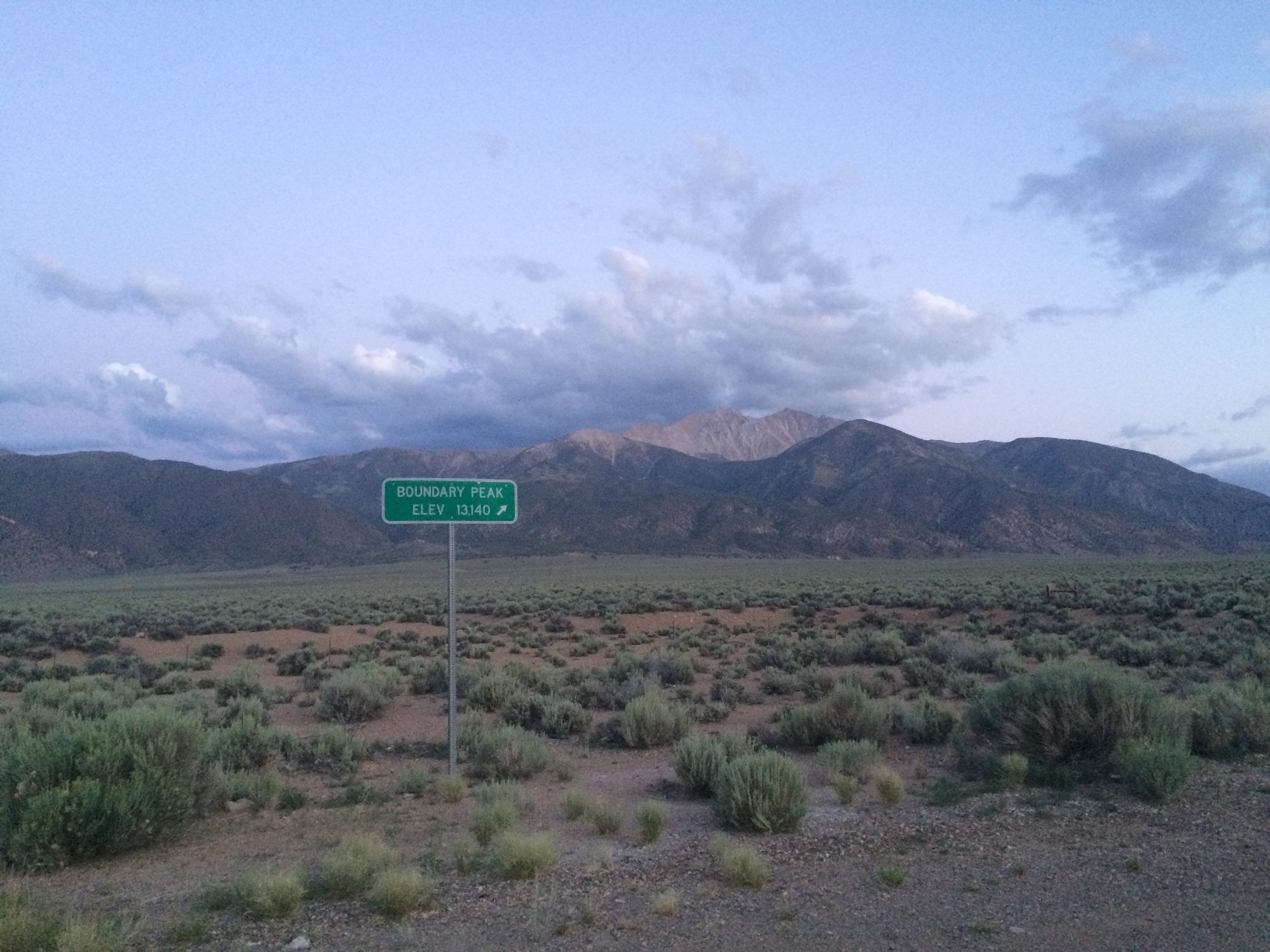
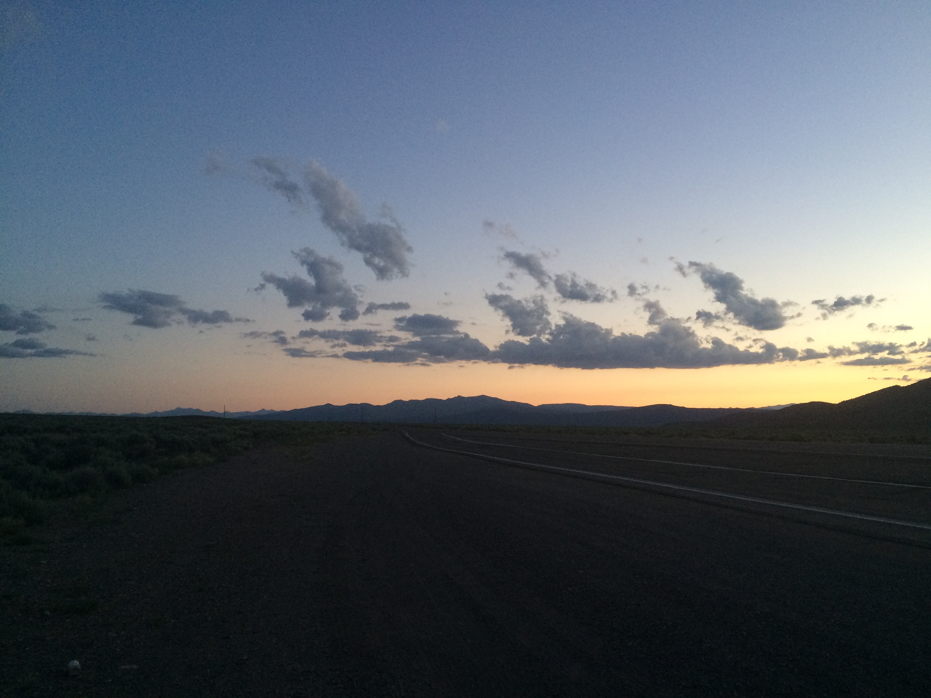
By the time I was at the top of the pass the sun was setting and it made for another spectacular sunset. At the top of the pass there was another ghost town and the first views of Boundary Peak (middle of the picture below just above the road). It was an intimidating view to see the peak rise so far above the valley with so many sub peaks in front of it. One of the most impressive looking high points I’ve attempted to climb so far.
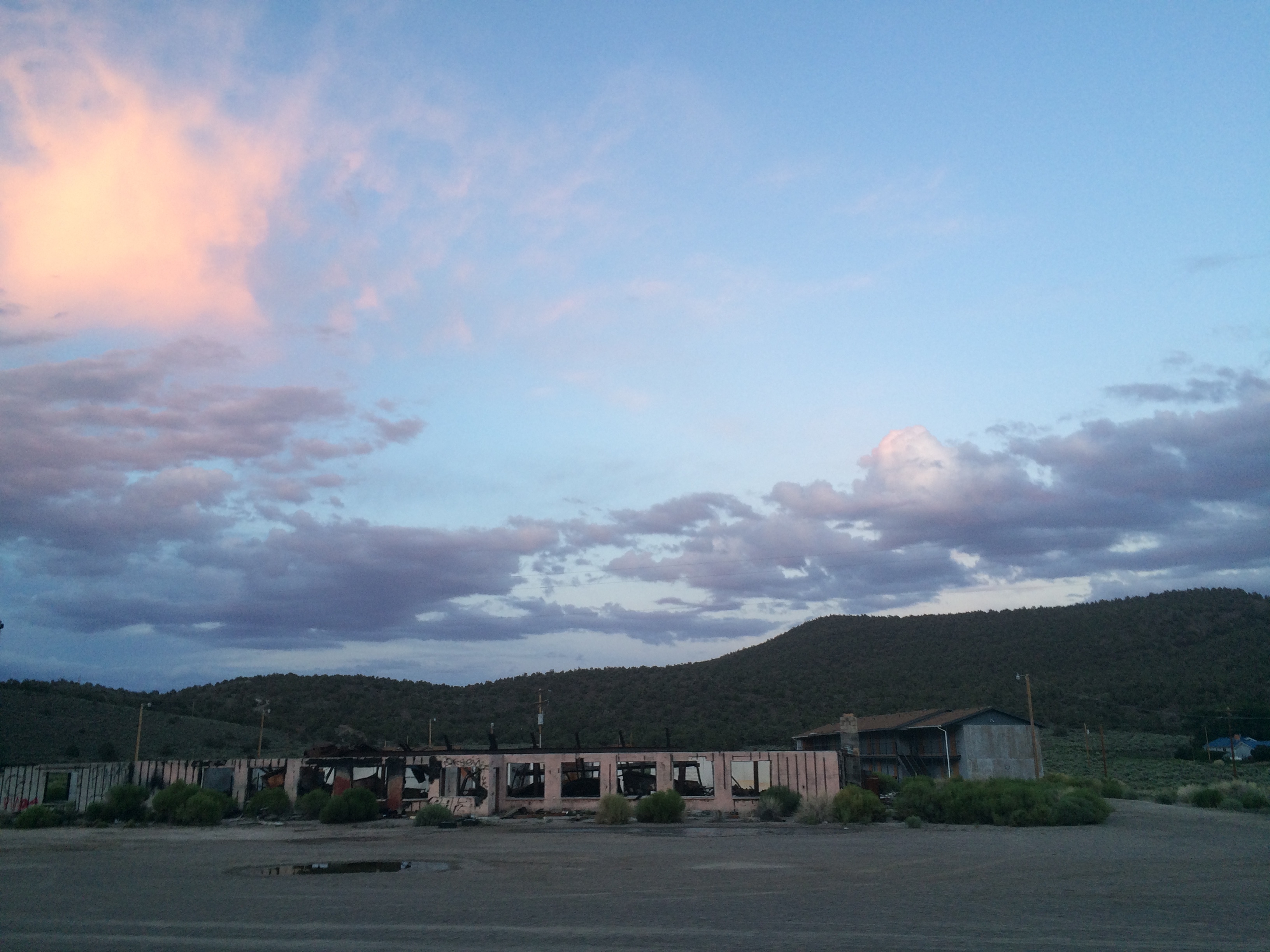
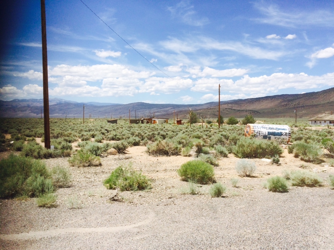
Coincidently, Joris had stashed the water right at the dirt road turnoff for Boundary Peak. Sometime throughout the day I had received a text from him with the picture below describing where he stashed the water. The deserted ranch in the picture is right across the street from the turnoff to Queen Mine which is where people typically drive to for hiking Boundary Peak. I guess it use to be a brothel servicing the miners working in the mountains above.
I was happy to find the water because I was going through what I had with me pretty quick. I rode up the forest road toward Queen Mine as far as I could in the dark before it became too sandy and pedaling a loaded bike became impossible. There weren’t any good campsites so I ended up essentially camping right on the side of the road. It was still about 6 miles to Queen Mine and then another 5 miles to Boundary Peak from there. Tomorrow was sure to be a long day.
Great to read you found the water.
Lots of succes,
The belgian family